Transport Functions
Multimodal
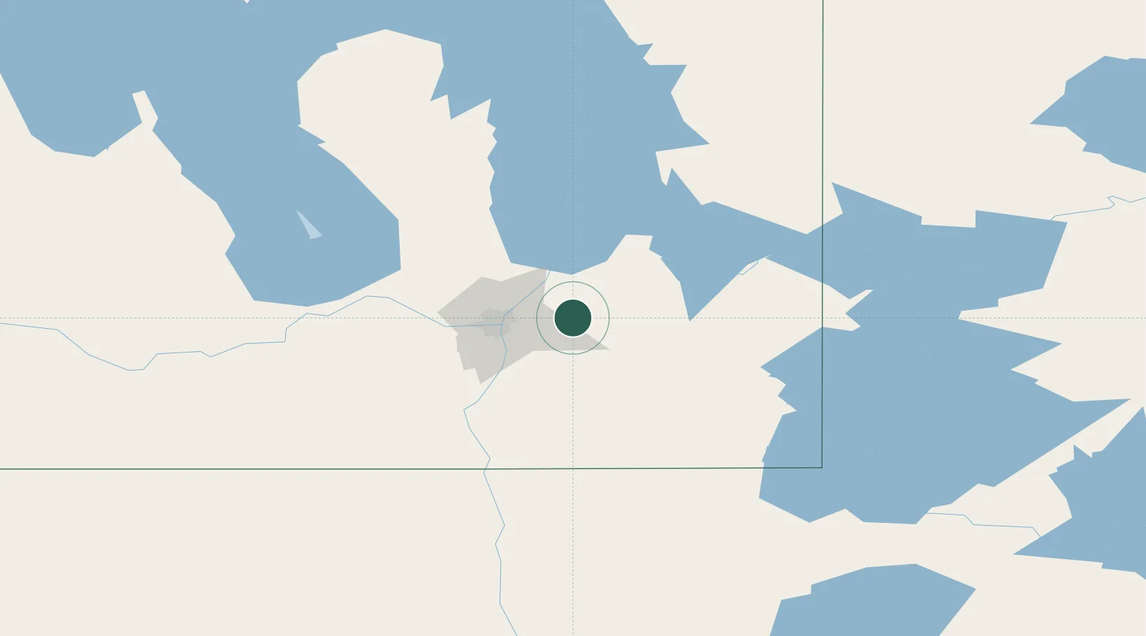
Hub Profile
Place type
Populated place
Region
Ontario
Time zone
America/Toronto
Elevation
223 m
Location
Nearby Logistics Neighbours
Cities
- 1Anola6 km
- 2Beauséjour19 km
- 3Lockport27 km
- 4Sainte-Anne-des-Chênes28 km
- 5East Saint-Paul30 km
Ports
- 1Duluth487 km
- 2Two Harbors491 km
- 3Superior492 km
- 4Grand Marais523 km
- 5Bayfield555 km
Airports
Trade Zones
- 1Winnipegs Centreport Canada33 km
- 2FTZ No. 103 Grand Forks225 km
- 3FTZ No. 259 Koochiching County251 km
- 4FTZ No. 267 Fargo341 km
- 5FTZ No. 051 Duluth480 km
DatabookThe Record of Consolidated Knowledge
Canada beyond logistics?