Transport Functions
Rail
Road
Multimodal
Hub Profile
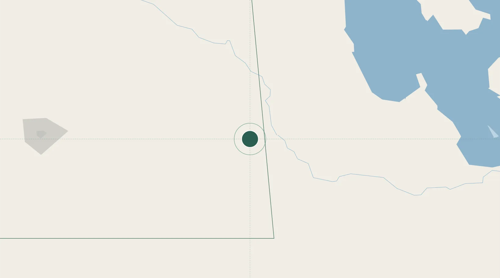
Place type
Populated place
Region
Saskatchewan
Time zone
America/Regina
Elevation
524 m
Location
Nearby Logistics Neighbours
Cities
- 1Moosomin28 km
- 2Decker29 km
- 3Whitewood39 km
- 4Langenburg50 km
- 5Russell53 km
Ports
- 1Duluth812 km
- 2Superior816 km
- 3Two Harbors826 km
- 4Grand Marais877 km
- 5Bayfield893 km
Airports
- 1Virden / RJ (Bob) Andrew Field Regional Aerodrome79 km
- 2Yorkton Municipal Airport112 km
- 3Brandon Municipal Airport135 km
- 4Dauphin Barker Airport141 km
- 5Estevan Airport159 km
Trade Zones
- 1Global Transportation Hub Authority216 km
- 2Winnipegs Centreport Canada330 km
- 3FTZ No. 103 Grand Forks429 km
- 4FTZ No. 267 Fargo524 km
- 5FTZ No. 259 Koochiching County584 km
DatabookThe Record of Consolidated Knowledge
Canada beyond logistics?