Medium airport · Canada
Yorkton Municipal AirportCYQV
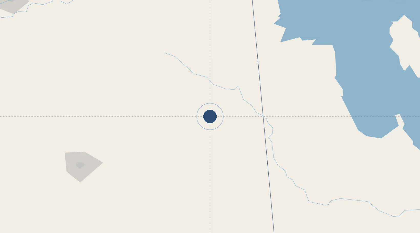
51.2647°, -102.4620°
4,800 ft
Longest runway
2
Runways
1,635 ft
Elevation
Runway & Layout

Radio Frequencies
A/G
122.2 MHz
MF EDMONTON RDO
RCO
122.2 MHz
EDMONTON RDO
Navaids
YQV VORTAC Yorkton 115.80 MHz
Runways · 2
| Runway | Dimensions | Surface | True heading | Lit |
|---|---|---|---|---|
| 04/22 | 4,800 × 150ft | Asphalt | 044° | ✓ |
| 13/31 | 3,000 × 100ft | COM | 135° | ✓ |
Airport Specifications
IATA code
YQV
ICAO code
CYQV
Airport class
Medium airport
Scheduled service
No
Runway surface
Asphalt
Served city
Yorkton
Location
Nearby Logistics Neighbours
Airports
- 1Swan River Airport127 km
- 2Dauphin Barker Airport169 km
- 3Regina International Airport180 km
- 4Virden / RJ (Bob) Andrew Field Regional Aerodrome189 km
- 5Estevan Airport231 km
Cities
- 1Springside20 km
- 2Canora41 km
- 3Melville44 km
- 4Kamsack50 km
- 5Churchbridge56 km
Ports
- 1Duluth905 km
- 2Superior909 km
- 3Two Harbors916 km
- 4Grand Marais958 km
- 5Bayfield982 km
Trade Zones
- 1Global Transportation Hub Authority185 km
- 2Winnipegs Centreport Canada406 km
- 3FTZ No. 103 Grand Forks533 km
- 4FTZ No. 267 Fargo633 km
- 5FTZ No. 259 Koochiching County672 km
DatabookThe Record of Consolidated Knowledge
Canada beyond logistics?