Transport Functions
Rail
Hub Profile
Place type
Populated place
Region
Saskatchewan
Time zone
America/Regina
Elevation
600 m
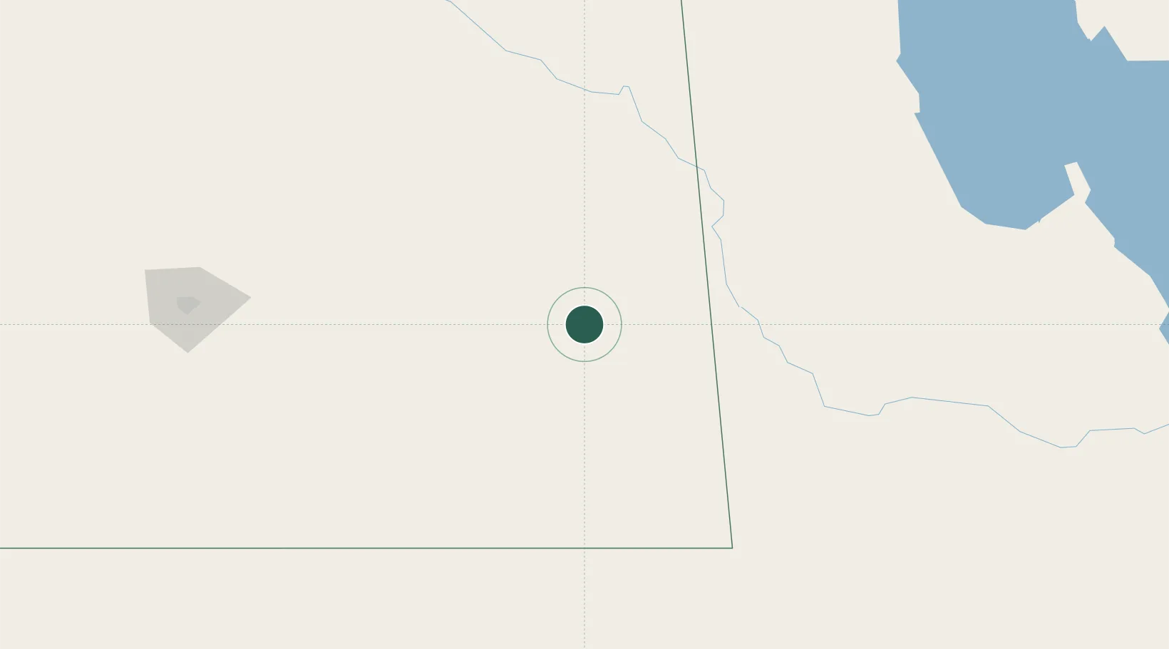
Location
Nearby Logistics Neighbours
Cities
- 1Langbank32 km
- 2Rocanville39 km
- 3Moosomin47 km
- 4Grenfell48 km
- 5Churchbridge68 km
Ports
- 1Duluth845 km
- 2Superior849 km
- 3Two Harbors860 km
- 4Grand Marais914 km
- 5Bayfield927 km
Airports
Trade Zones
- 1Global Transportation Hub Authority178 km
- 2Winnipegs Centreport Canada368 km
- 3FTZ No. 103 Grand Forks457 km
- 4FTZ No. 267 Fargo548 km
- 5FTZ No. 259 Koochiching County619 km
DatabookThe Record of Consolidated Knowledge
Canada beyond logistics?