Medium airport · Canada

Estevan AirportCYEN

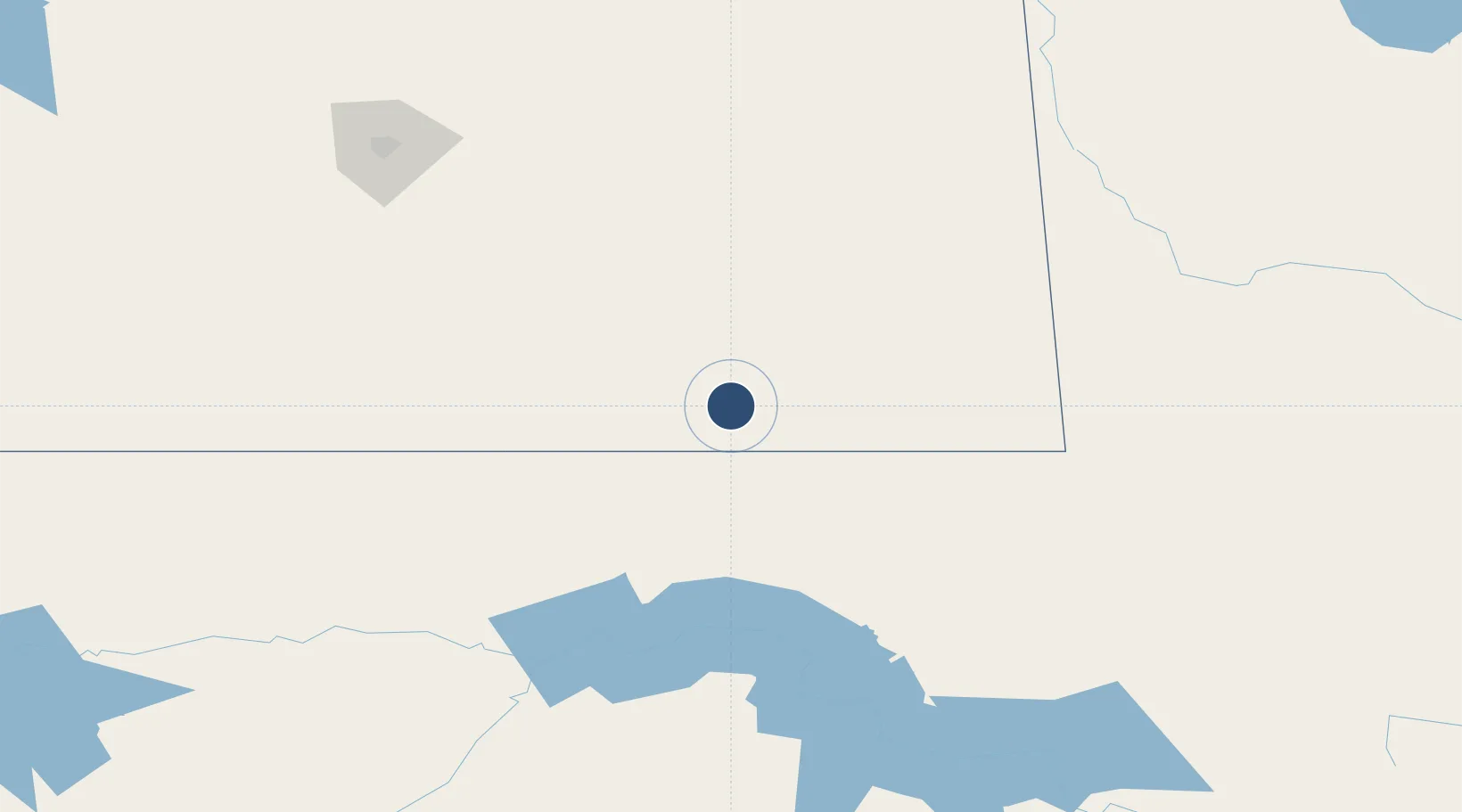
49.2103°, -102.9660°
5,000 ft
Longest runway
2
Runways
1,905 ft
Elevation

Runway & Layout

Estevan Airport runway & taxiway layout
Runway & taxiway layout — OpenStreetMap (ODbL) / OurAirports

Radio Frequencies

ATF
123 MHz
OurAirports

Navaids

L7 NDB Estevan 395 kHz
OurAirports

Runways · 2

RunwayDimensions SurfaceTrue headingLit
08/26 5,000 × 100ft Asphalt 090°
15/33 3,000 × 75ft Asphalt 158°
OurAirports

Airport Specifications

IATA code
YEN
OurAirports
ICAO code
CYEN
OurAirports
Airport class
Medium airport
OurAirports
Scheduled service
No
OurAirports
Runway surface
Asphalt
OurAirports
Served city
Estevan
OurAirports

Location

Location of CYEN
Natural Earth 10m (public domain) · Saskatchewan · CYEN · 49.21, -102.97GoogleOSMYandex

Nearby Logistics Neighbours

Airports
  1. 1Williston Basin International Airport120 km
  2. 2Minot Air Force Base147 km
  3. 3Minot International Airport163 km
  4. 4Virden / RJ (Bob) Andrew Field Regional Aerodrome165 km
  5. 5Regina International Airport182 km
Nearest neighbours — logibook spatial index (haversine) over the source coordinates
Cities
  1. 1Bienfait14 km
  2. 2Macoun25 km
  3. 3North Portal38 km
  4. 4Oxbow58 km
  5. 5Carlyle69 km
Nearest neighbours — logibook spatial index (haversine) over the source coordinates
Ports
  1. 1Duluth852 km
  2. 2Superior856 km
  3. 3Two Harbors874 km
  4. 4Bayfield942 km
  5. 5Washburn942 km
Nearest neighbours — logibook spatial index (haversine) over the source coordinates
Trade Zones
  1. 1Global Transportation Hub Authority188 km
  2. 2Winnipegs Centreport Canada427 km
  3. 3FTZ No. 103 Grand Forks450 km
  4. 4FTZ No. 267 Fargo517 km
  5. 5FTZ No. 259 Koochiching County642 km
Nearest neighbours — logibook spatial index (haversine) over the source coordinates
DatabookThe Record of Consolidated Knowledge
Canada beyond logistics?
Browse databook

All Sources

AirportsOurAirports
Public domain
Portsthe NGA World Port Index
Public domain (US gov)
LocationsUN/LOCODE
UN/LOCODE — free
Trade Zonesthe World Bank SEZ database
CC BY 4.0
Trade ZonesOpen Zone Map
CC BY
InfrastructureOpenStreetMap
ODbL 1.0
← Canada airports