Transport Functions
Rail
Road
Hub Profile
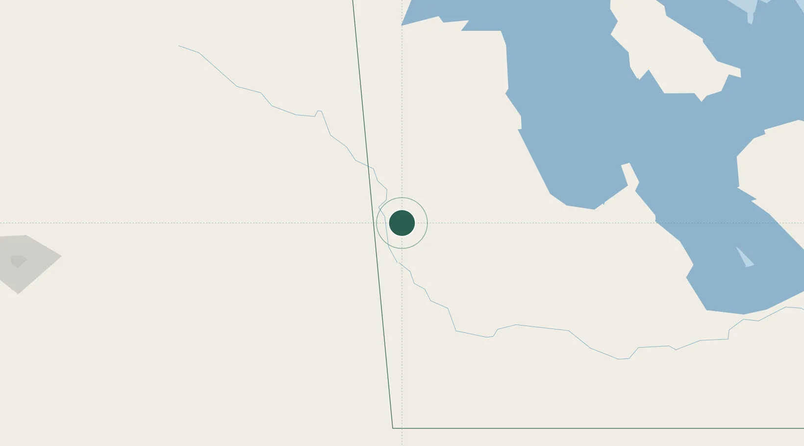
Place type
Populated place
Region
Manitoba
Time zone
America/Winnipeg
Elevation
567 m
Location
Nearby Logistics Neighbours
Cities
- 1Langenburg30 km
- 2Decker37 km
- 3Churchbridge45 km
- 4Roblin48 km
- 5Rocanville53 km
Ports
- 1Duluth807 km
- 2Superior811 km
- 3Two Harbors818 km
- 4Grand Marais862 km
- 5Bayfield884 km
Airports
Trade Zones
- 1Global Transportation Hub Authority247 km
- 2Winnipegs Centreport Canada310 km
- 3FTZ No. 103 Grand Forks436 km
- 4FTZ No. 267 Fargo539 km
- 5FTZ No. 259 Koochiching County575 km
DatabookThe Record of Consolidated Knowledge
Canada beyond logistics?