Transport Functions
Rail
Road
Hub Profile
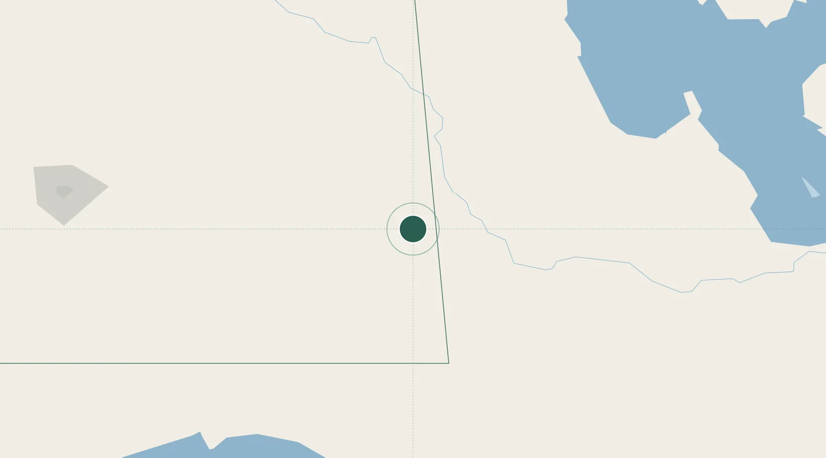
Place type
Populated place
Region
Saskatchewan
Population
2,485
Time zone
America/Regina
Elevation
578 m
Location
Nearby Logistics Neighbours
Cities
- 1Rocanville28 km
- 2Elkhorn36 km
- 3Decker44 km
- 4Langbank45 km
- 5Whitewood47 km
Ports
- 1Duluth798 km
- 2Superior802 km
- 3Two Harbors814 km
- 4Grand Marais868 km
- 5Bayfield881 km
Airports
- 1Virden / RJ (Bob) Andrew Field Regional Aerodrome61 km
- 2Brandon Municipal Airport125 km
- 3Yorkton Municipal Airport138 km
- 4Estevan Airport139 km
- 5Dauphin Barker Airport157 km
Trade Zones
- 1Global Transportation Hub Authority222 km
- 2Winnipegs Centreport Canada325 km
- 3FTZ No. 103 Grand Forks410 km
- 4FTZ No. 267 Fargo503 km
- 5FTZ No. 259 Koochiching County572 km
DatabookThe Record of Consolidated Knowledge
Canada beyond logistics?