Transport Functions
Rail
Road
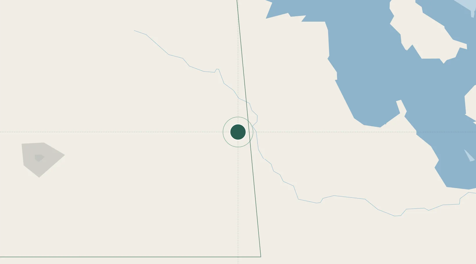
Hub Profile
Place type
Populated place
Region
Saskatchewan
Population
1,165
Time zone
America/Regina
Elevation
511 m
Location
Nearby Logistics Neighbours
Cities
- 1Churchbridge16 km
- 2Russell30 km
- 3Roblin49 km
- 4Rocanville50 km
- 5Decker51 km
Ports
- 1Duluth835 km
- 2Superior839 km
- 3Two Harbors847 km
- 4Grand Marais892 km
- 5Bayfield913 km
Airports
Trade Zones
- 1Global Transportation Hub Authority219 km
- 2Winnipegs Centreport Canada340 km
- 3FTZ No. 103 Grand Forks461 km
- 4FTZ No. 267 Fargo562 km
- 5FTZ No. 259 Koochiching County603 km
DatabookThe Record of Consolidated Knowledge
Canada beyond logistics?