Medium airport · Canada

Virden / RJ (Bob) Andrew Field Regional AerodromeCYVD

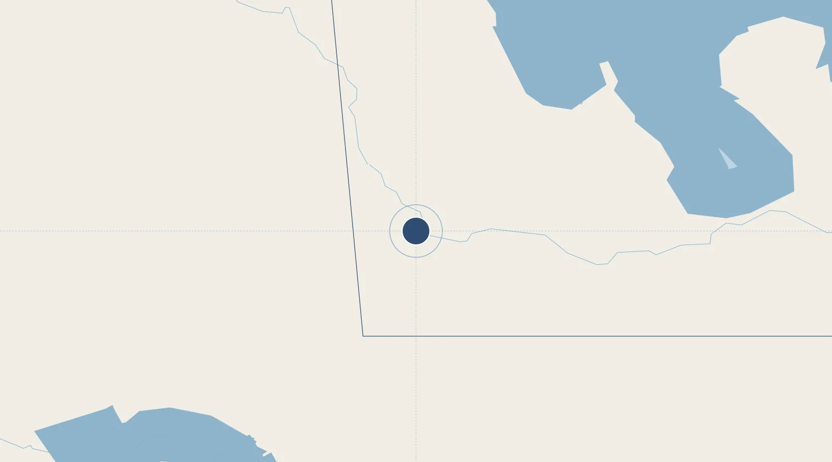
49.8783°, -100.9180°
4,000 ft
Longest runway
1
Runways
1,454 ft
Elevation

Runway & Layout

Virden / RJ (Bob) Andrew Field Regional Aerodrome runway & taxiway layout
Runway & taxiway layout — OpenStreetMap (ODbL) / OurAirports

Runways · 1

RunwayDimensions SurfaceTrue headingLit
08/26 4,000 × 75ft ASPHALT
OurAirports

Airport Specifications

ICAO code
CYVD
OurAirports
Airport class
Medium airport
OurAirports
Scheduled service
No
OurAirports
Runway surface
ASPHALT
OurAirports
Served city
Virden
OurAirports

Location

Location of CYVD
Natural Earth 10m (public domain) · Manitoba · CYVD · 49.88, -100.92GoogleOSMYandex

Nearby Logistics Neighbours

Airports
  1. 1Brandon Municipal Airport69 km
  2. 2Dauphin Barker Airport149 km
  3. 3Estevan Airport165 km
  4. 4Minot Air Force Base166 km
  5. 5Minot International Airport182 km
Nearest neighbours — logibook spatial index (haversine) over the source coordinates
Cities
  1. 1Virden3 km
  2. 2Elkhorn25 km
  3. 3Pipestone37 km
  4. 4Hamiota39 km
  5. 5Moosomin61 km
Nearest neighbours — logibook spatial index (haversine) over the source coordinates
Ports
  1. 1Duluth737 km
  2. 2Superior742 km
  3. 3Two Harbors753 km
  4. 4Grand Marais810 km
  5. 5Bayfield821 km
Nearest neighbours — logibook spatial index (haversine) over the source coordinates
Trade Zones
  1. 1Winnipegs Centreport Canada271 km
  2. 2Global Transportation Hub Authority280 km
  3. 3FTZ No. 103 Grand Forks350 km
  4. 4FTZ No. 267 Fargo445 km
  5. 5FTZ No. 259 Koochiching County513 km
Nearest neighbours — logibook spatial index (haversine) over the source coordinates
DatabookThe Record of Consolidated Knowledge
Canada beyond logistics?
Browse databook

All Sources

AirportsOurAirports
Public domain
Portsthe NGA World Port Index
Public domain (US gov)
LocationsUN/LOCODE
UN/LOCODE — free
Trade Zonesthe World Bank SEZ database
CC BY 4.0
Trade ZonesOpen Zone Map
CC BY
InfrastructureOpenStreetMap
ODbL 1.0
← Canada airports