Transport Functions
Multimodal
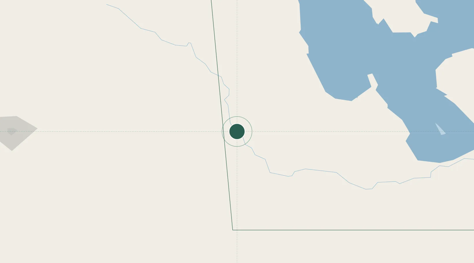
Hub Profile
Region
MB
Location
Nearby Logistics Neighbours
Cities
- 1Rocanville29 km
- 2Russell37 km
- 3Moosomin44 km
- 4Langenburg51 km
- 5Elkhorn54 km
Ports
- 1Duluth790 km
- 2Superior794 km
- 3Two Harbors803 km
- 4Grand Marais852 km
- 5Bayfield870 km
Airports
- 1Virden / RJ (Bob) Andrew Field Regional Aerodrome69 km
- 2Brandon Municipal Airport113 km
- 3Dauphin Barker Airport114 km
- 4Yorkton Municipal Airport122 km
- 5Estevan Airport182 km
Trade Zones
- 1Global Transportation Hub Authority244 km
- 2Winnipegs Centreport Canada303 km
- 3FTZ No. 103 Grand Forks412 km
- 4FTZ No. 267 Fargo511 km
- 5FTZ No. 259 Koochiching County560 km
DatabookThe Record of Consolidated Knowledge
Canada beyond logistics?