Medium airport · Canada
Dauphin Barker AirportCYDN
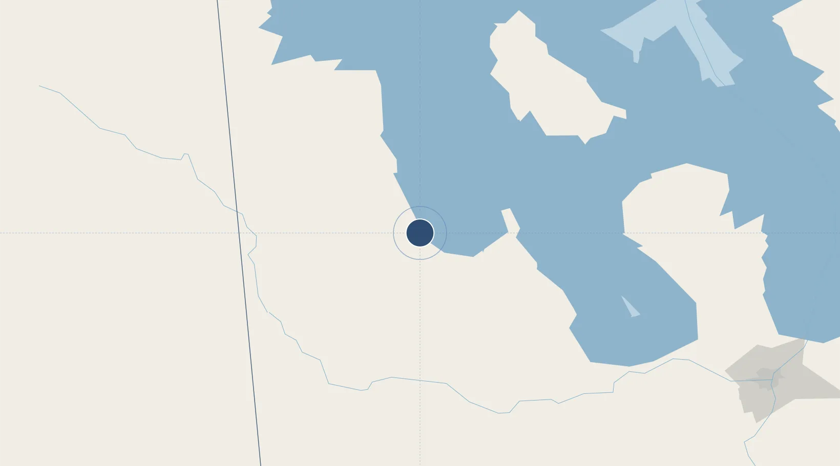
51.1008°, -100.0520°
5,000 ft
Longest runway
3
Runways
999 ft
Elevation
Runway & Layout

Radio Frequencies
AWOS
128.6 MHz
A/G
122.3 MHz
MF WINNIPEG RDO
RCO
122.3 MHz
WINNIPEG RDO
Navaids
DN NDB Dauphin 224 kHz
YDN VOR-DME Dauphin 116.10 MHz
Runways · 3
| Runway | Dimensions | Surface | True heading | Lit |
|---|---|---|---|---|
| 14/32 | 5,000 × 150ft | Asphalt | 150° | ✓ |
| 08/26 | 2,700 × 75ft | Asphalt | 090° | ✓ |
| 02/20 | 2,000 × 60ft | Gravel | 029° | — |
Airport Specifications
IATA code
YDN
ICAO code
CYDN
Airport class
Medium airport
Scheduled service
Yes
Runway surface
Asphalt
Served city
Dauphin
Location
Nearby Logistics Neighbours
Airports
Cities
- 1Kelwood68 km
- 2Pine River81 km
- 3Roblin91 km
- 4Russell93 km
- 5Minnedosa96 km
Ports
- 1Duluth754 km
- 2Superior758 km
- 3Two Harbors762 km
- 4Grand Marais795 km
- 5Bayfield826 km
Trade Zones
- 1Winnipegs Centreport Canada246 km
- 2Global Transportation Hub Authority338 km
- 3FTZ No. 103 Grand Forks411 km
- 4FTZ No. 259 Koochiching County518 km
- 5FTZ No. 267 Fargo523 km
DatabookThe Record of Consolidated Knowledge
Canada beyond logistics?