UN/LOCODE hub · Canada
CAEMT

Saint-Eustache

49.9333°, -97.7667°
42,062
Population
1
Transport functions

Transport Functions

Multimodal
UN/LOCODE

Hub Profile

Place type
Populated place
GeoNames
Region
Quebec
GeoNames
Population
42,062
GeoNames
Time zone
America/Toronto
GeoNames
Elevation
42 m
GeoNames

Location

Location of CAEMT
Natural Earth 10m (public domain) · Quebec · CAEMT · 49.93, -97.77GoogleOSMYandex

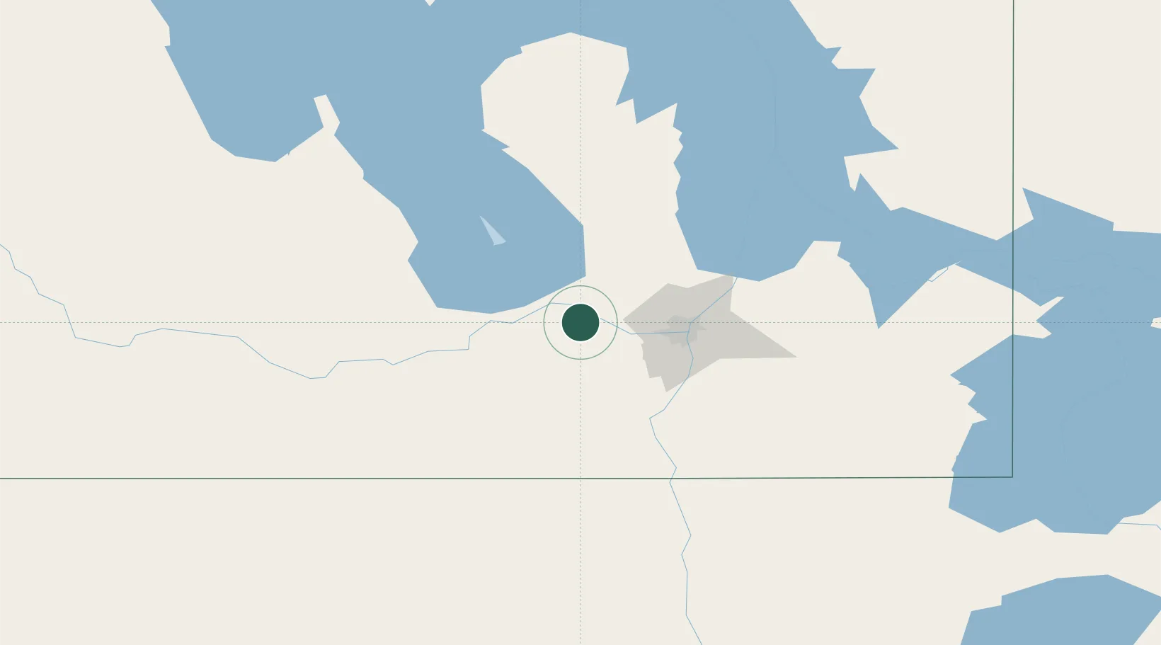
Nearby Logistics Neighbours

Cities
  1. 1Oakville17 km
  2. 2Newton22 km
  3. 3Rosser23 km
  4. 4Southport36 km
  5. 5Portage La Prairie37 km
Nearest neighbours — logibook spatial index (haversine) over the source coordinates
Ports
  1. 1Duluth547 km
  2. 2Superior551 km
  3. 3Two Harbors555 km
  4. 4Grand Marais595 km
  5. 5Bayfield620 km
Nearest neighbours — logibook spatial index (haversine) over the source coordinates
Airports
  1. 1Portage-la-Prairie / Southport Airport37 km
  2. 2Winnipeg / James Armstrong Richardson International Airport38 km
  3. 3Winnipeg / St. Andrews Airport54 km
  4. 4Gimli Industrial Park Airport93 km
  5. 5Lac du Bonnet Airport132 km
Nearest neighbours — logibook spatial index (haversine) over the source coordinates
Trade Zones
  1. 1Winnipegs Centreport Canada45 km
  2. 2FTZ No. 103 Grand Forks229 km
  3. 3FTZ No. 259 Koochiching County311 km
  4. 4FTZ No. 267 Fargo347 km
  5. 5Global Transportation Hub Authority500 km
Nearest neighbours — logibook spatial index (haversine) over the source coordinates
DatabookThe Record of Consolidated Knowledge
Canada beyond logistics?
Browse databook

All Sources

LocationsUN/LOCODE
UN/LOCODE — free
LocationsGeoNames
CC BY 4.0
Portsthe NGA World Port Index
Public domain (US gov)
AirportsOurAirports
Public domain
Trade Zonesthe World Bank SEZ database
CC BY 4.0
Trade ZonesOpen Zone Map
CC BY
← Canada locations