Medium airport · Canada
Swan River AirportCZJN
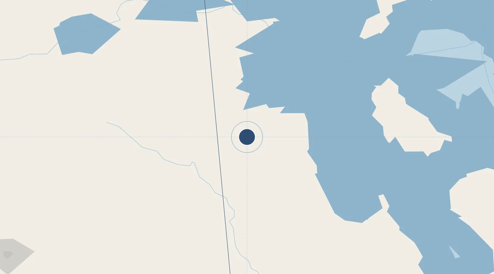
52.1206°, -101.2360°
3,933 ft
Longest runway
2
Runways
1,100 ft
Elevation
Runway & Layout

Radio Frequencies
ATF
122.8 MHz
RCO
123.45 MHz
WINNIPEG RDO
Navaids
N4 NDB Swan River 350 kHz
Runways · 2
| Runway | Dimensions | Surface | True heading | Lit |
|---|---|---|---|---|
| 02/20 | 3,933 × 100ft | Asphalt | 027° | ✓ |
| 08/26 | 1,950 × 75ft | Grass | 085° | — |
Airport Specifications
IATA code
ZJN
ICAO code
CZJN
Airport class
Medium airport
Scheduled service
No
Runway surface
Asphalt
Served city
Swan River
Location
Nearby Logistics Neighbours
Airports
- 1Yorkton Municipal Airport127 km
- 2Dauphin Barker Airport140 km
- 3The Pas Airport206 km
- 4Nipawin Airport230 km
- 5Virden / RJ (Bob) Andrew Field Regional Aerodrome250 km
Cities
- 1Pine River62 km
- 2Kamsack78 km
- 3Canora98 km
- 4Roblin101 km
- 5Rama128 km
Ports
- 1Churchill863 km
- 2Duluth888 km
- 3Superior892 km
- 4Two Harbors893 km
- 5Grand Marais918 km
Trade Zones
- 1Global Transportation Hub Authority307 km
- 2Winnipegs Centreport Canada379 km
- 3FTZ No. 103 Grand Forks550 km
- 4FTZ No. 259 Koochiching County652 km
- 5FTZ No. 267 Fargo662 km
DatabookThe Record of Consolidated Knowledge
Canada beyond logistics?