Transport Functions
Rail
Road
Hub Profile
Place type
Populated place
Region
Saskatchewan
Time zone
America/Regina
Elevation
530 m
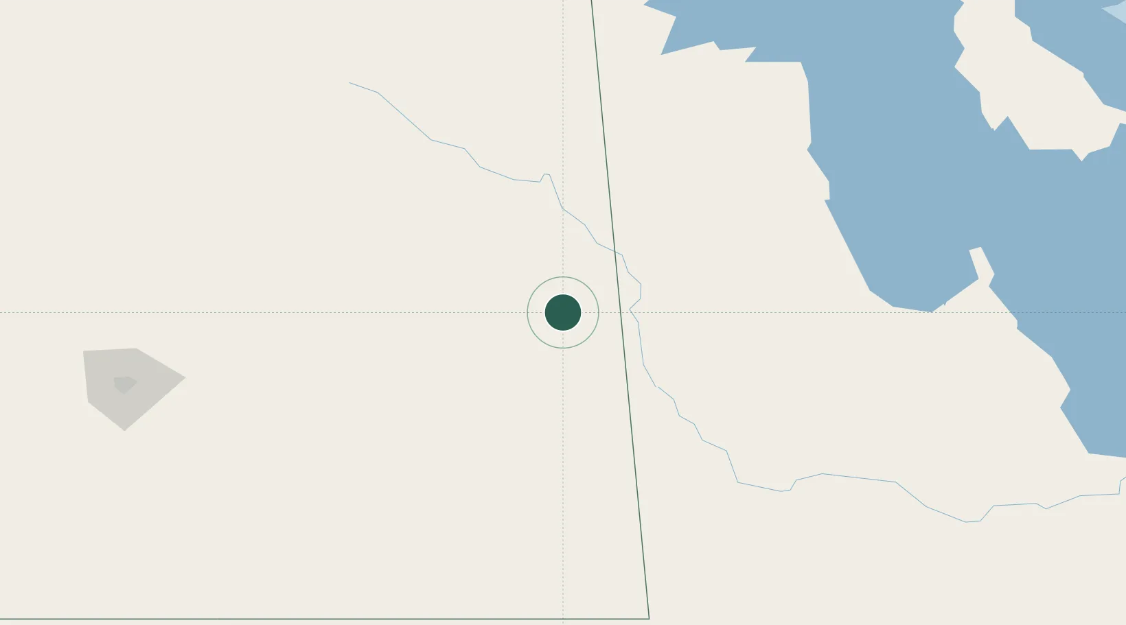
Location
Nearby Logistics Neighbours
Cities
- 1Langenburg16 km
- 2Russell45 km
- 3Roblin52 km
- 4Rocanville59 km
- 5Melville63 km
Ports
- 1Duluth851 km
- 2Superior855 km
- 3Two Harbors863 km
- 4Grand Marais907 km
- 5Bayfield929 km
Airports
Trade Zones
- 1Global Transportation Hub Authority207 km
- 2Winnipegs Centreport Canada355 km
- 3FTZ No. 103 Grand Forks476 km
- 4FTZ No. 267 Fargo576 km
- 5FTZ No. 259 Koochiching County619 km
DatabookThe Record of Consolidated Knowledge
Canada beyond logistics?