Transport Functions
Rail
Road
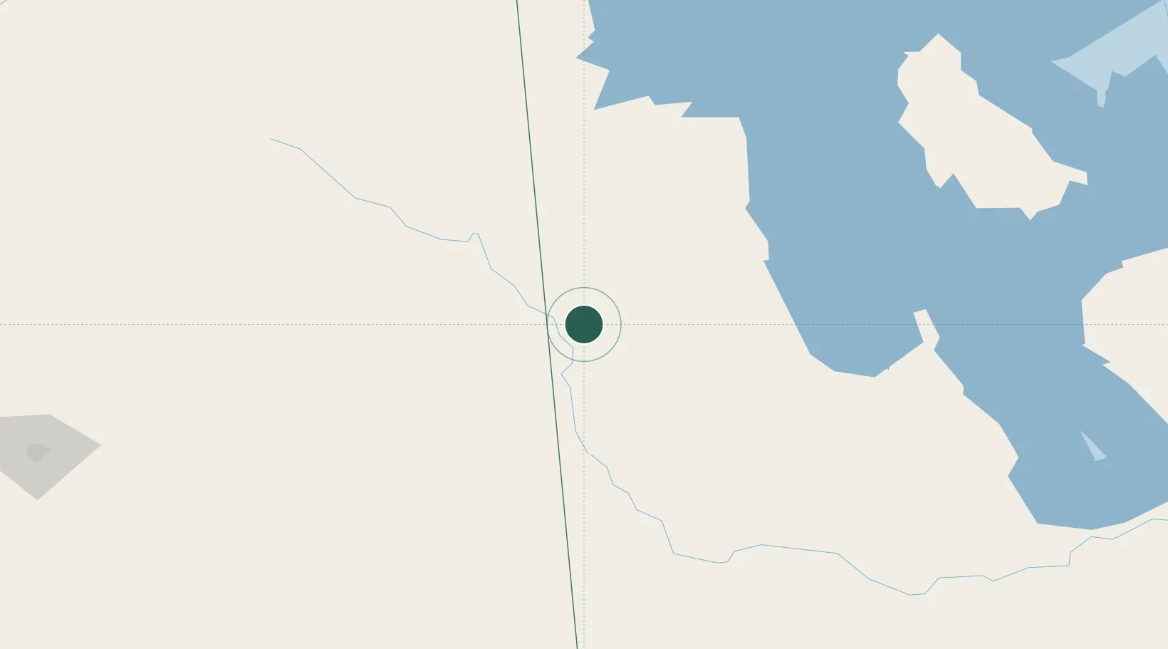
Hub Profile
Place type
Populated place
Region
Manitoba
Population
1,614
Time zone
America/Winnipeg
Elevation
553 m
Location
Nearby Logistics Neighbours
Cities
- 1Russell48 km
- 2Langenburg49 km
- 3Churchbridge52 km
- 4Kamsack53 km
- 5Pine River83 km
Ports
- 1Duluth836 km
- 2Superior840 km
- 3Two Harbors845 km
- 4Grand Marais883 km
- 5Bayfield911 km
Airports
Trade Zones
- 1Global Transportation Hub Authority254 km
- 2Winnipegs Centreport Canada332 km
- 3FTZ No. 103 Grand Forks475 km
- 4FTZ No. 267 Fargo581 km
- 5FTZ No. 259 Koochiching County602 km
DatabookThe Record of Consolidated Knowledge
Canada beyond logistics?