Transport Functions
Rail
Road
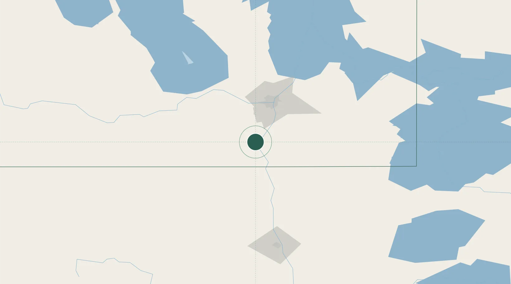
Hub Profile
Place type
Populated place
Region
Manitoba
Population
1,916
Time zone
America/Winnipeg
Elevation
236 m
Location
Nearby Logistics Neighbours
Cities
- 1Otterburne30 km
- 2Sanford37 km
- 3Niverville38 km
- 4Emerson39 km
- 5Gretna39 km
Ports
- 1Duluth484 km
- 2Superior489 km
- 3Two Harbors496 km
- 4Grand Marais547 km
- 5Bayfield562 km
Airports
Trade Zones
- 1Winnipegs Centreport Canada65 km
- 2FTZ No. 103 Grand Forks158 km
- 3FTZ No. 259 Koochiching County252 km
- 4FTZ No. 267 Fargo277 km
- 5FTZ No. 051 Duluth475 km
DatabookThe Record of Consolidated Knowledge
Canada beyond logistics?