Transport Functions
Rail
Road
Multimodal
Hub Profile
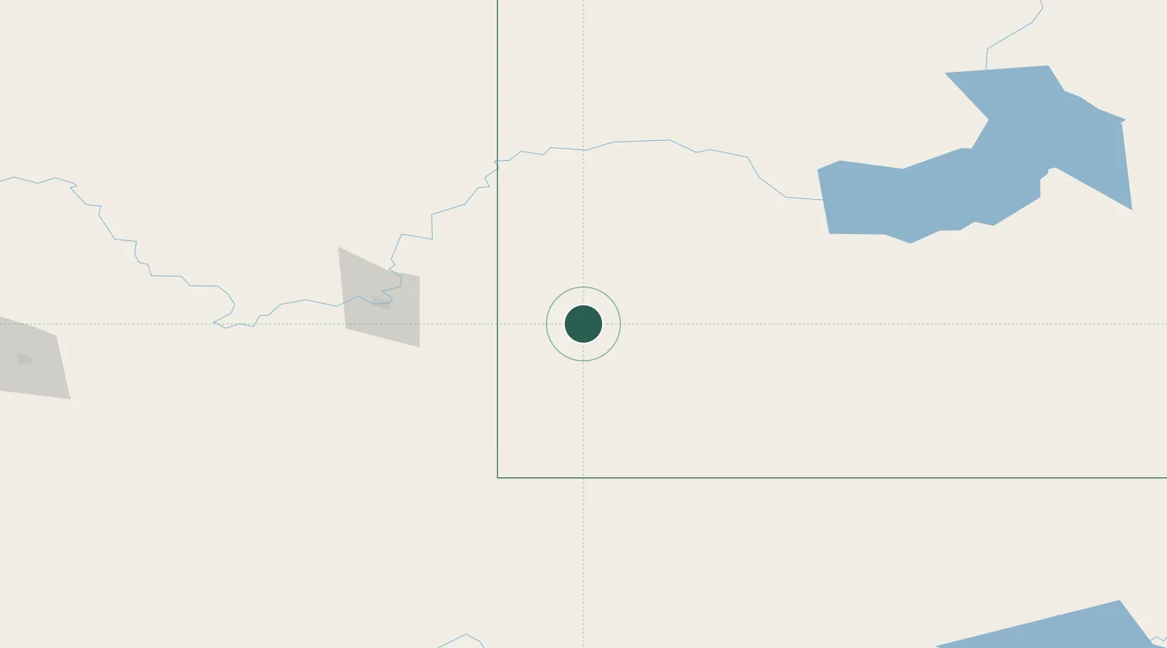
Place type
Populated place
Region
Saskatchewan
Population
2,121
Time zone
America/Regina
Elevation
764 m
Location
Nearby Logistics Neighbours
Cities
- 1Irvine56 km
- 2Gull Lake74 km
- 3Dunmore79 km
- 4Shaunavon83 km
- 5Medicine Hat86 km
Ports
- 1Mission City925 km
- 2Bellingham951 km
- 3Everett953 km
- 4Port Coquitlam960 km
- 5Mukilteo960 km
Airports
- 1Medicine Hat Regional Airport89 km
- 2Swift Current Airport135 km
- 3Havre City County Airport154 km
- 4Kindersley Airport179 km
- 5Lethbridge County Airport240 km
Trade Zones
- 1FTZ No. 187 Toole County250 km
- 2FTZ No. 088 Great Falls304 km
- 3Global Transportation Hub Authority342 km
- 4Calgary Region Inland Port348 km
- 5FTZ No. 275 Lansing490 km
DatabookThe Record of Consolidated Knowledge
Canada beyond logistics?