Transport Functions
Rail
Road
Hub Profile
Place type
Populated place
Region
Saskatchewan
Population
949
Time zone
America/Regina
Elevation
778 m
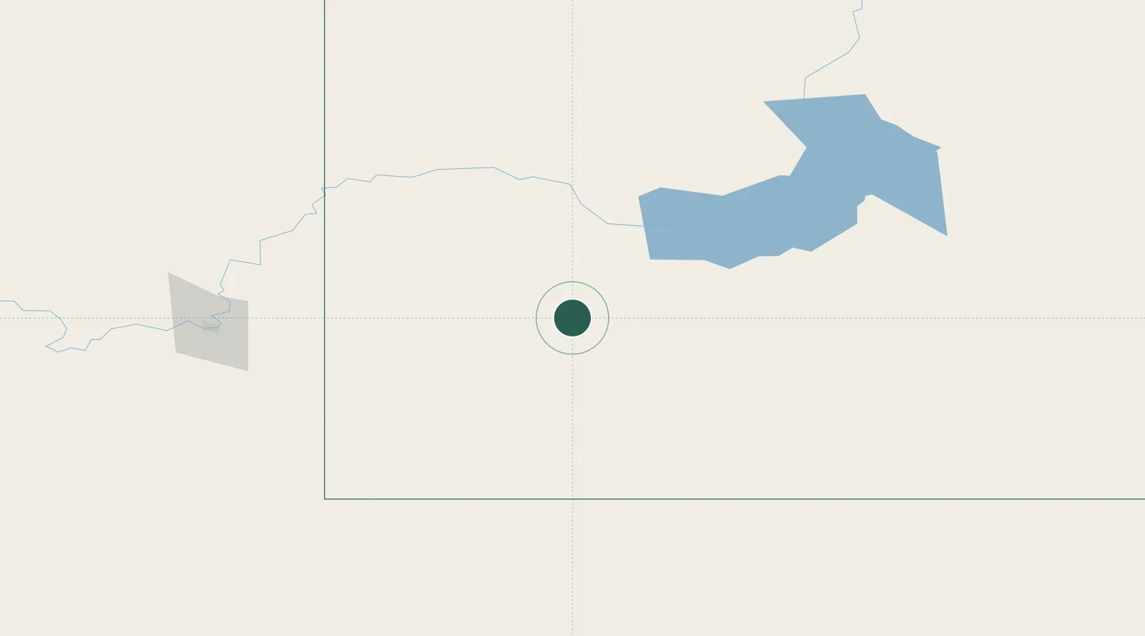
Location
Nearby Logistics Neighbours
Cities
- 1Success48 km
- 2Shaunavon50 km
- 3Cabri58 km
- 4Maple Creek74 km
- 5Hodgeville109 km
Ports
- 1Mission City997 km
- 2Bellingham1023 km
- 3Everett1026 km
- 4Port Coquitlam1031 km
- 5Mukilteo1034 km
Airports
Trade Zones
- 1Global Transportation Hub Authority268 km
- 2FTZ No. 187 Toole County322 km
- 3FTZ No. 088 Great Falls361 km
- 4Calgary Region Inland Port408 km
- 5Port Alberta - Edmonton FTZ514 km
DatabookThe Record of Consolidated Knowledge
Canada beyond logistics?