Transport Functions
Port
Road
Hub Profile
Place type
Populated place
Region
Saskatchewan
Population
1,658
Time zone
America/Regina
Elevation
916 m
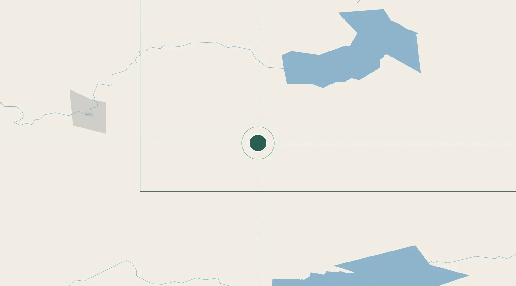
Location
Nearby Logistics Neighbours
Cities
- 1Gull Lake50 km
- 2Maple Creek83 km
- 3Success92 km
- 4Cabri108 km
- 5Hodgeville115 km
Ports
- 1Mission City1003 km
- 2Everett1026 km
- 3Bellingham1028 km
- 4Mukilteo1034 km
- 5Port Coquitlam1038 km
Airports
- 1Swift Current Airport88 km
- 2Havre City County Airport158 km
- 3Medicine Hat Regional Airport171 km
- 4Glasgow Valley County Airport Wokal Field206 km
- 5Kindersley Airport215 km
Trade Zones
- 1Global Transportation Hub Authority275 km
- 2FTZ No. 187 Toole County306 km
- 3FTZ No. 088 Great Falls327 km
- 4Calgary Region Inland Port431 km
- 5FTZ No. 275 Lansing509 km
DatabookThe Record of Consolidated Knowledge
Canada beyond logistics?