Medium airport · Canada

Kindersley AirportCYKY

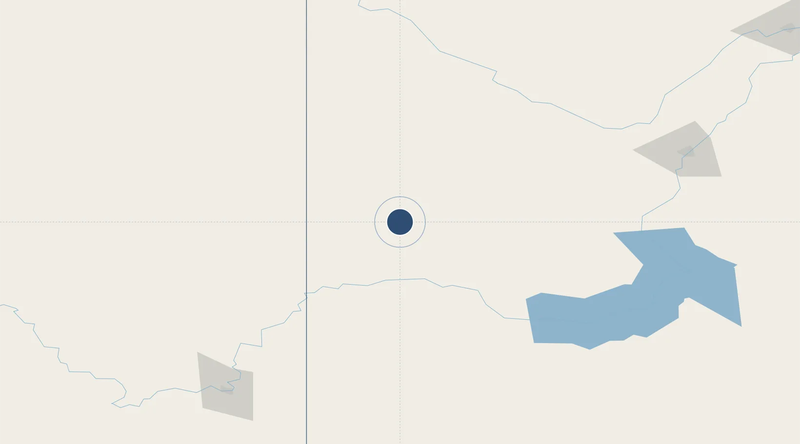
51.5175°, -109.1810°
3,507 ft
Longest runway
2
Runways
2,277 ft
Elevation

Runway & Layout

Kindersley Airport runway & taxiway layout
Runway & taxiway layout — OpenStreetMap (ODbL) / OurAirports

Radio Frequencies

ATF
122.8 MHz
OurAirports

Navaids

M3 NDB Kindersley 402 kHz
OurAirports

Runways · 2

RunwayDimensions SurfaceTrue headingLit
08/26 3,507 × 75ft Asphalt 090°
17/35 2,281 × 100ft Grass 180°
OurAirports

Airport Specifications

IATA code
YKY
OurAirports
ICAO code
CYKY
OurAirports
Airport class
Medium airport
OurAirports
Scheduled service
No
OurAirports
Runway surface
Asphalt
OurAirports
Served city
Kindersley
OurAirports

Location

Location of CYKY
Natural Earth 10m (public domain) · Saskatchewan · CYKY · 51.52, -109.18GoogleOSMYandex

Nearby Logistics Neighbours

Airports
  1. 1North Battleford Airport153 km
  2. 2Swift Current Airport172 km
  3. 3Saskatoon John G. Diefenbaker International Airport185 km
  4. 4Medicine Hat Regional Airport199 km
  5. 5Lloydminster Airport208 km
Nearest neighbours — logibook spatial index (haversine) over the source coordinates
Cities
  1. 1Leader75 km
  2. 2Acadia Valley82 km
  3. 3Rosetown83 km
  4. 4Empress85 km
  5. 5Oyen92 km
Nearest neighbours — logibook spatial index (haversine) over the source coordinates
Ports
  1. 1Mission City964 km
  2. 2Port Coquitlam995 km
  3. 3Bellingham996 km
  4. 4Port Moody1001 km
  5. 5Fraser Mills1001 km
Nearest neighbours — logibook spatial index (haversine) over the source coordinates
Trade Zones
  1. 1Global Transportation Hub Authority332 km
  2. 2Calgary Region Inland Port344 km
  3. 3Port Alberta - Edmonton FTZ366 km
  4. 4FTZ No. 187 Toole County392 km
  5. 5FTZ No. 088 Great Falls475 km
Nearest neighbours — logibook spatial index (haversine) over the source coordinates
DatabookThe Record of Consolidated Knowledge
Canada beyond logistics?
Browse databook

All Sources

AirportsOurAirports
Public domain
Portsthe NGA World Port Index
Public domain (US gov)
LocationsUN/LOCODE
UN/LOCODE — free
Trade Zonesthe World Bank SEZ database
CC BY 4.0
Trade ZonesOpen Zone Map
CC BY
InfrastructureOpenStreetMap
ODbL 1.0
← Canada airports