Transport Functions
Rail
Road
Hub Profile
Place type
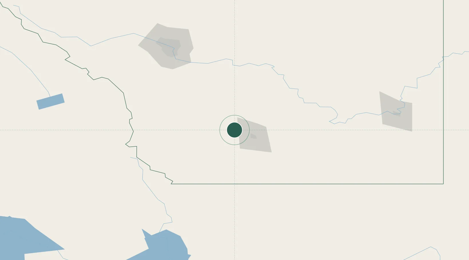
Populated place
Region
Alberta
Time zone
America/Edmonton
Elevation
929 m
Location
Nearby Logistics Neighbours
Cities
- 1Picture Butte25 km
- 2Granum30 km
- 3Iron Springs34 km
- 4Claresholm42 km
- 5Brocket54 km
Ports
- 1Mission City664 km
- 2Bellingham690 km
- 3Everett694 km
- 4Port Coquitlam699 km
- 5Mukilteo702 km
Airports
Trade Zones
- 1FTZ No. 187 Toole County146 km
- 2Calgary Region Inland Port154 km
- 3FTZ No. 088 Great Falls283 km
- 4FTZ No. 242 Boundary County293 km
- 5FTZ No. 224 Spokane398 km
DatabookThe Record of Consolidated Knowledge
Canada beyond logistics?