Transport Functions
Port
Hub Profile
Place type
Populated place
Region
Alberta
Time zone
America/Edmonton
Elevation
1,066 m
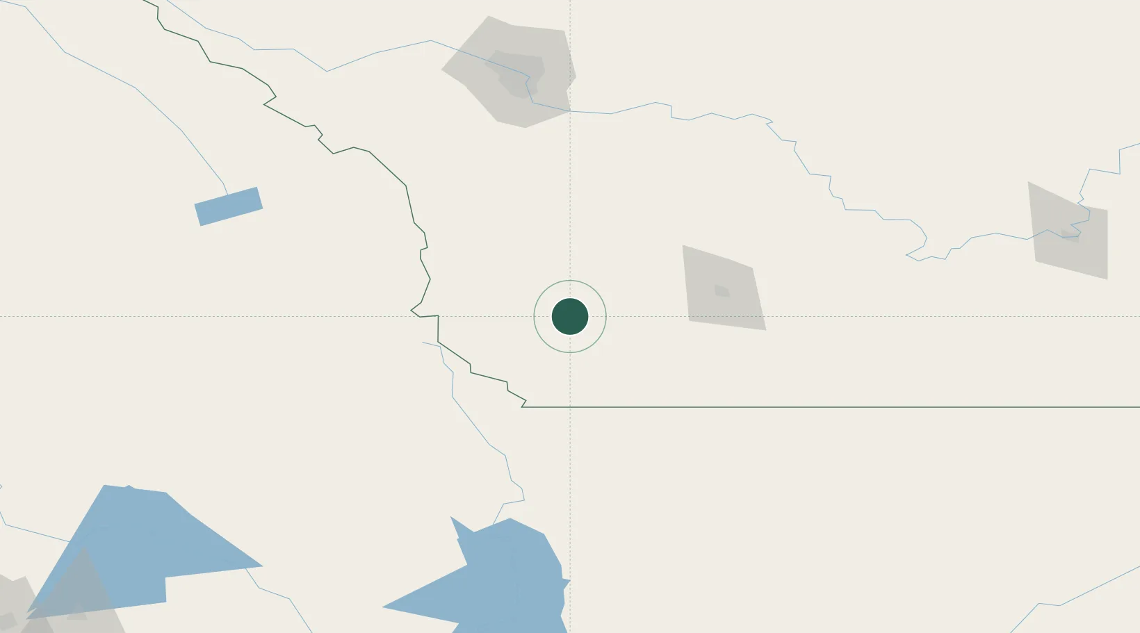
Location
Nearby Logistics Neighbours
Cities
- 1Glenwood27 km
- 2Granum40 km
- 3Monarch54 km
- 4Claresholm55 km
- 5Picture Butte79 km
Ports
- 1Mission City617 km
- 2Bellingham641 km
- 3Everett642 km
- 4Mukilteo650 km
- 5Port Coquitlam652 km
Airports
Trade Zones
- 1FTZ No. 187 Toole County150 km
- 2Calgary Region Inland Port168 km
- 3FTZ No. 242 Boundary County239 km
- 4FTZ No. 088 Great Falls285 km
- 5FTZ No. 224 Spokane344 km
DatabookThe Record of Consolidated Knowledge
Canada beyond logistics?