Transport Functions
Rail
Road
Hub Profile
Place type
Populated place
Region
Alberta
Time zone
America/Edmonton
Elevation
998 m
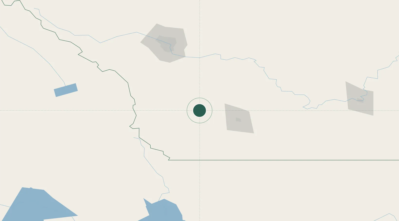
Location
Nearby Logistics Neighbours
Cities
- 1Claresholm19 km
- 2Monarch30 km
- 3Brocket40 km
- 4Picture Butte53 km
- 5Glenwood56 km
Ports
- 1Mission City636 km
- 2Bellingham663 km
- 3Everett668 km
- 4Port Coquitlam671 km
- 5Blaine674 km
Airports
Trade Zones
- 1Calgary Region Inland Port137 km
- 2FTZ No. 187 Toole County166 km
- 3FTZ No. 242 Boundary County270 km
- 4FTZ No. 088 Great Falls304 km
- 5FTZ No. 224 Spokane379 km
DatabookThe Record of Consolidated Knowledge
Canada beyond logistics?