Medium airport · Canada
Calgary / Springbank AirportCYBW
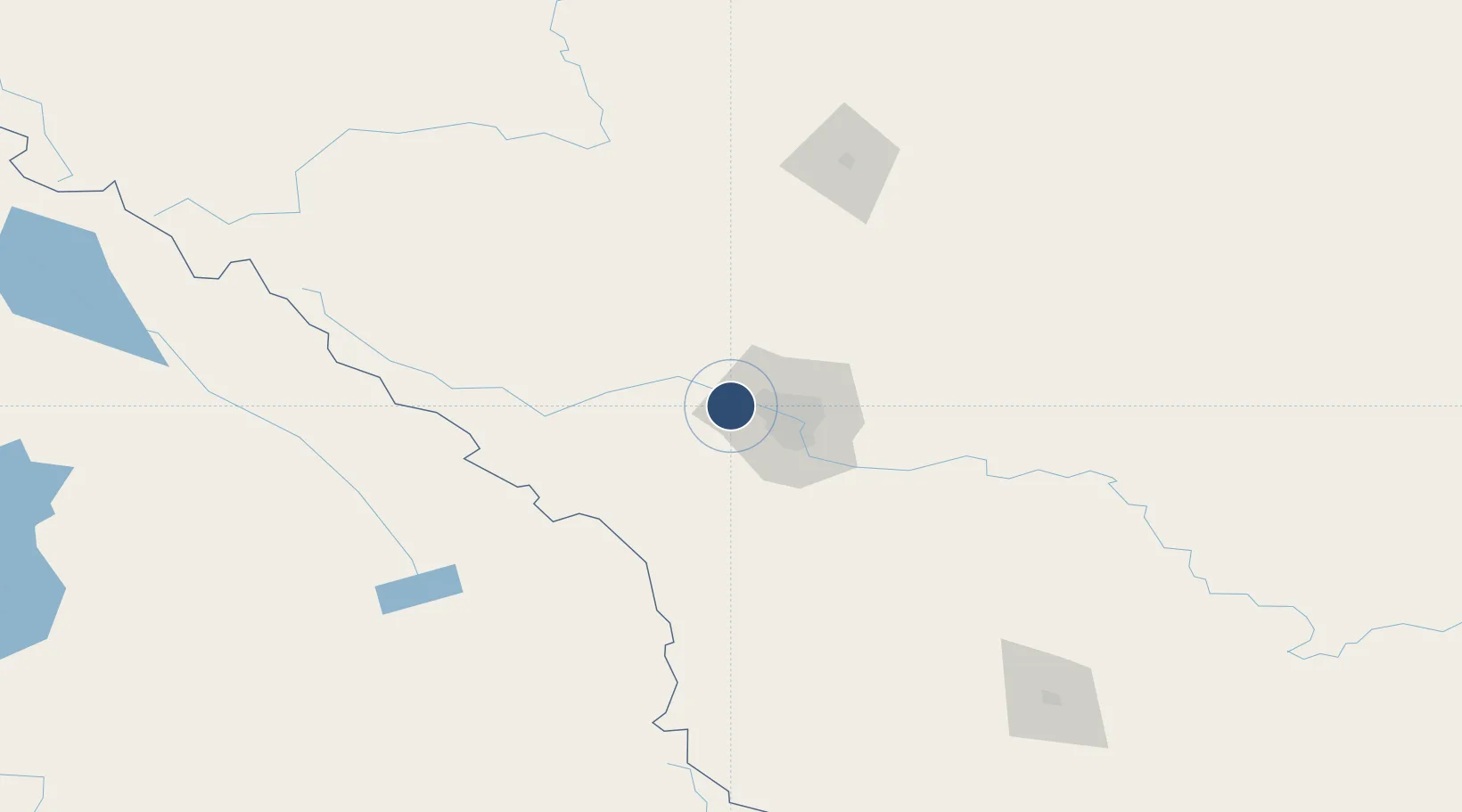
51.1040°, -114.3694°
5,000 ft
Longest runway
2
Runways
3,940 ft
Elevation
Runway & Layout

Radio Frequencies
ATIS
127.9 MHz
TWR
118.2 MHz
TWR
120.7 MHz
Tower Inner
GND
121.8 MHz
A/G
118.2 MHz
MF CALGARY RDO
RCO
123.375 MHz
EDMONTON RDO
Runways · 2
| Runway | Dimensions | Surface | True heading | Lit |
|---|---|---|---|---|
| 17/35 | 5,000 × 98ft | Asphalt | 181° | ✓ |
| 08/26 | 3,423 × 100ft | Asphalt | 090° | ✓ |
Airport Specifications
ICAO code
CYBW
Airport class
Medium airport
Scheduled service
No
Runway surface
Asphalt
Served city
Calgary
Location
Nearby Logistics Neighbours
Airports
Cities
- 1Balzac28 km
- 2Calgary30 km
- 3Rocky View County36 km
- 4Chestermere39 km
- 5Langdon52 km
Ports
- 1Mission City603 km
- 2Port Coquitlam633 km
- 3Bellingham638 km
- 4Port Moody639 km
- 5Fraser Mills639 km
Trade Zones
- 1Calgary Region Inland Port22 km
- 2Port Alberta - Edmonton FTZ290 km
- 3FTZ No. 187 Toole County315 km
- 4FTZ No. 242 Boundary County315 km
- 5FTZ No. 224 Spokane443 km
DatabookThe Record of Consolidated Knowledge
Canada beyond logistics?