Transport Functions
Rail
Road
Hub Profile
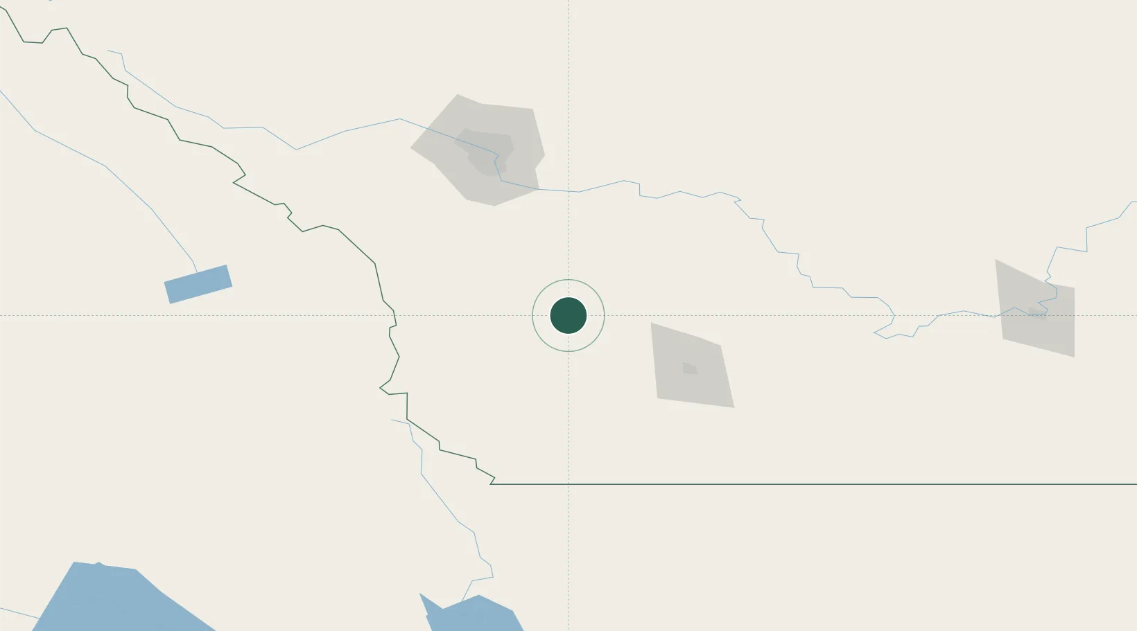
Place type
Populated place
Region
Alberta
Population
3,780
Time zone
America/Edmonton
Elevation
1,034 m
Location
Nearby Logistics Neighbours
Ports
- 1Mission City633 km
- 2Bellingham661 km
- 3Port Coquitlam667 km
- 4Everett669 km
- 5Blaine671 km
Airports
Trade Zones
- 1Calgary Region Inland Port118 km
- 2FTZ No. 187 Toole County184 km
- 3FTZ No. 242 Boundary County274 km
- 4FTZ No. 088 Great Falls322 km
- 5FTZ No. 224 Spokane388 km
DatabookThe Record of Consolidated Knowledge
Canada beyond logistics?