Small airport · Canada
Lansdowne House AirportCYLH
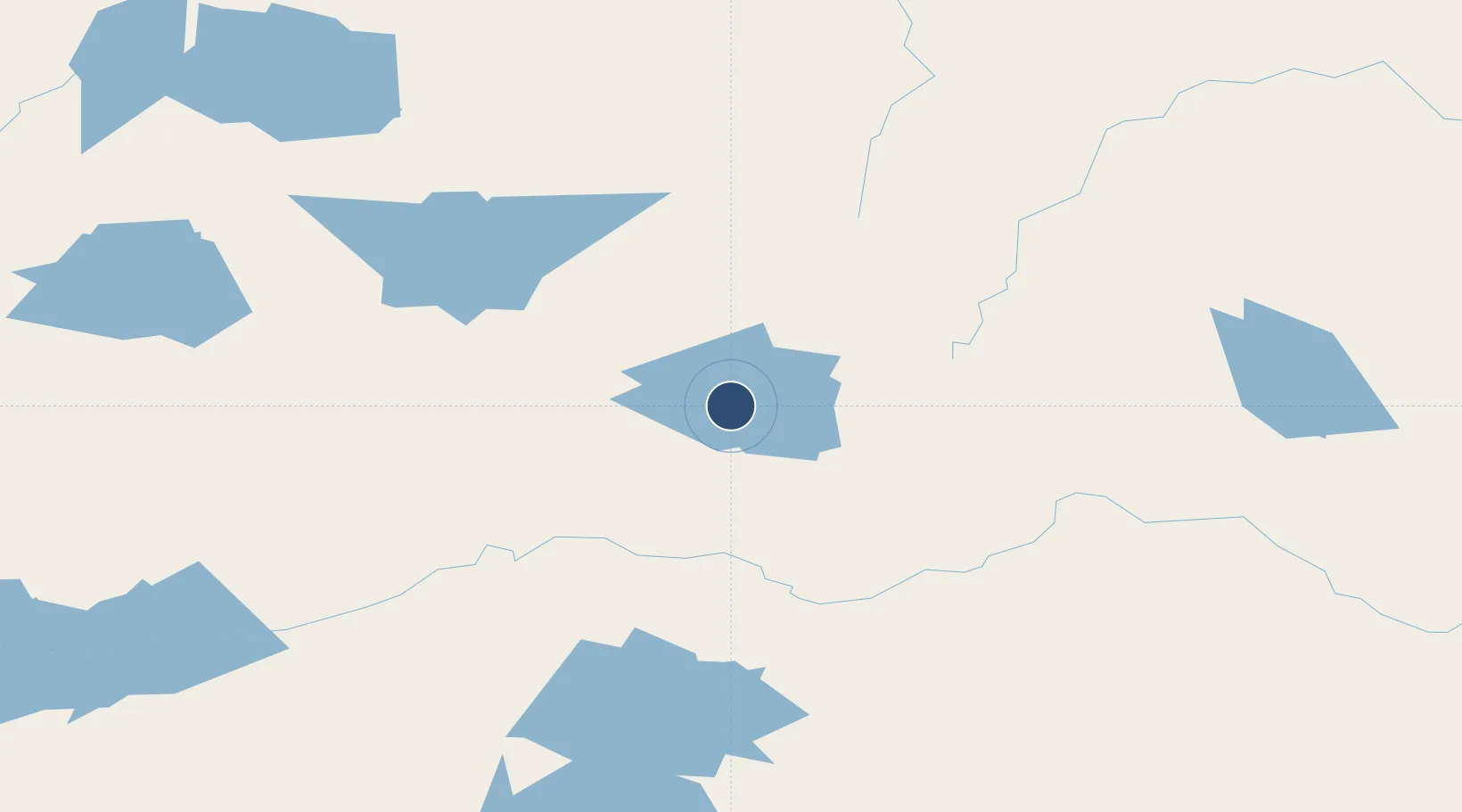
52.1956°, -87.9342°
3,500 ft
Longest runway
1
Runways
834 ft
Elevation
Runway & Layout

Runways · 1
| Runway | Dimensions | Surface | True heading | Lit |
|---|---|---|---|---|
| 08/26 | 3,500 × 100ft | GRVL | — | — |
Airport Specifications
IATA code
YLH
ICAO code
CYLH
Airport class
Small airport
Scheduled service
Yes
Runway surface
GRVL
Served city
Lansdowne House
Location
Nearby Logistics Neighbours
Airports
- 1Summer Beaver Airport70 km
- 2Fort Hope Airport71 km
- 3Webequie Airport93 km
- 4Wunnumin Lake Airport120 km
- 5Ogoki Post Airport152 km
Cities
- 1Lansdowne4 km
- 2Wellington297 km
- 3Red Rock362 km
- 4Rossport375 km
- 5Red Lake424 km
Ports
- 1Heron Bay411 km
- 2Thunder Bay432 km
- 3Michipicoten518 km
- 4Grand Marais523 km
- 5Houghton567 km
Trade Zones
- 1FTZ No. 259 Koochiching County629 km
- 2FTZ No. 051 Duluth679 km
- 3FTZ No. 016 Sault Ste. Marie684 km
- 4Winnipegs Centreport Canada692 km
- 5FTZ No. 103 Grand Forks812 km
DatabookThe Record of Consolidated Knowledge
Canada beyond logistics?