Small airport · Canada
Summer Beaver AirportCJV7
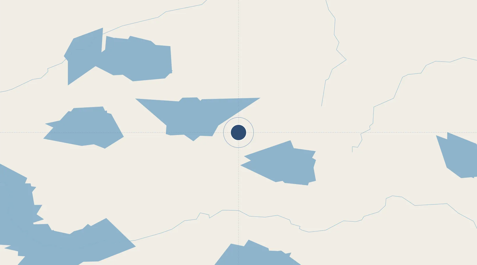
52.7086°, -88.5419°
3,500 ft
Longest runway
1
Runways
832 ft
Elevation
Runway & Layout

Runways · 1
| Runway | Dimensions | Surface | True heading | Lit |
|---|---|---|---|---|
| 17/35 | 3,500 × 100ft | GRVL | — | — |
Airport Specifications
IATA code
SUR
ICAO code
CJV7
Airport class
Small airport
Scheduled service
Yes
Runway surface
GRVL
Served city
Summer Beaver
Location
Nearby Logistics Neighbours
Airports
- 1Wunnumin Lake Airport54 km
- 2Lansdowne House Airport70 km
- 3Webequie Airport83 km
- 4Kasabonika Airport91 km
- 5Kingfisher Lake Airport94 km
Cities
- 1Lansdowne71 km
- 2Wellington358 km
- 3Red Lake404 km
- 4Red Rock418 km
- 5Island Lake427 km
Ports
- 1Heron Bay478 km
- 2Thunder Bay482 km
- 3Grand Marais566 km
- 4Michipicoten587 km
- 5Houghton622 km
Trade Zones
- 1FTZ No. 259 Koochiching County640 km
- 2Winnipegs Centreport Canada674 km
- 3FTZ No. 051 Duluth712 km
- 4FTZ No. 016 Sault Ste. Marie753 km
- 5FTZ No. 103 Grand Forks811 km
DatabookThe Record of Consolidated Knowledge
Canada beyond logistics?