Small airport · Canada
Webequie AirportCYWP
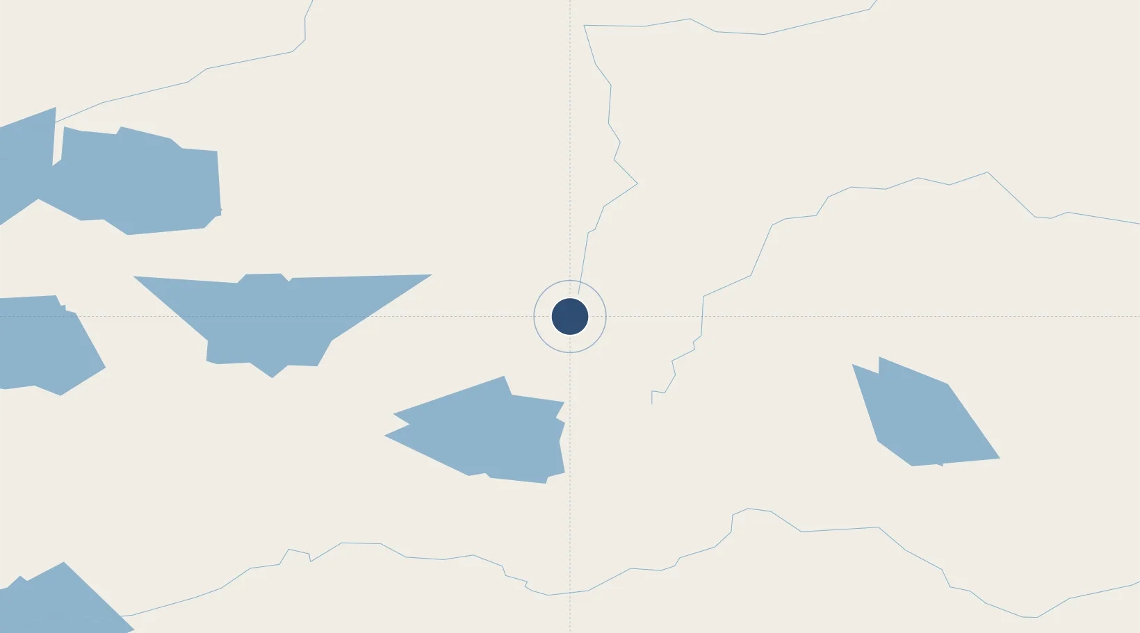
52.9594°, -87.3749°
3,500 ft
Longest runway
1
Runways
685 ft
Elevation
Runway & Layout

Navaids
YWP NDB Webequie 355 kHz
Runways · 1
| Runway | Dimensions | Surface | True heading | Lit |
|---|---|---|---|---|
| 02/20 | 3,500 × 100ft | GRVL | — | — |
Airport Specifications
IATA code
YWP
ICAO code
CYWP
Airport class
Small airport
Scheduled service
Yes
Runway surface
GRVL
Served city
Webequie
Location
Nearby Logistics Neighbours
Airports
- 1Summer Beaver Airport83 km
- 2Lansdowne House Airport93 km
- 3Kasabonika Airport105 km
- 4Wunnumin Lake Airport129 km
- 5Fort Hope Airport160 km
Cities
- 1Lansdowne89 km
- 2Wellington382 km
- 3Red Rock450 km
- 4Rossport459 km
- 5Red Lake487 km
Ports
- 1Heron Bay485 km
- 2Thunder Bay524 km
- 3Michipicoten582 km
- 4Grand Marais616 km
- 5Houghton655 km
Trade Zones
- 1FTZ No. 259 Koochiching County714 km
- 2FTZ No. 016 Sault Ste. Marie751 km
- 3Winnipegs Centreport Canada757 km
- 4FTZ No. 051 Duluth772 km
- 5FTZ No. 103 Grand Forks891 km
DatabookThe Record of Consolidated Knowledge
Canada beyond logistics?