Small airport · Canada
Fort Hope AirportCYFH
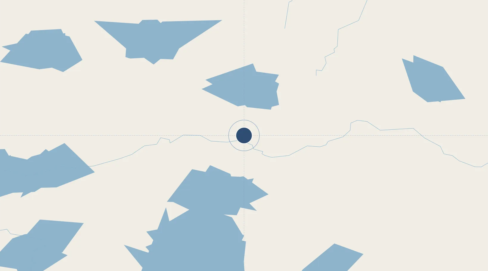
51.5619°, -87.9078°
3,500 ft
Longest runway
1
Runways
899 ft
Elevation
Runway & Layout

Runways · 1
| Runway | Dimensions | Surface | True heading | Lit |
|---|---|---|---|---|
| 09/27 | 3,500 × 100ft | GRVL | — | — |
Airport Specifications
IATA code
YFH
ICAO code
CYFH
Airport class
Small airport
Scheduled service
Yes
Runway surface
GRVL
Served city
Fort Hope
Location
Nearby Logistics Neighbours
Airports
- 1Lansdowne House Airport71 km
- 2Summer Beaver Airport135 km
- 3Ogoki Post Airport139 km
- 4Armstrong Airport158 km
- 5Webequie Airport160 km
Cities
- 1Lansdowne73 km
- 2Wellington226 km
- 3Red Rock292 km
- 4Rossport305 km
- 5Thunder Bay363 km
Ports
- 1Heron Bay343 km
- 2Thunder Bay364 km
- 3Michipicoten454 km
- 4Grand Marais458 km
- 5Houghton497 km
Trade Zones
- 1FTZ No. 259 Koochiching County586 km
- 2FTZ No. 016 Sault Ste. Marie619 km
- 3FTZ No. 051 Duluth620 km
- 4FTZ No. 167 Brown County790 km
- 5FTZ No. 119 Minneapolis-St. Paul832 km
DatabookThe Record of Consolidated Knowledge
Canada beyond logistics?