Medium airport · Canada
Cornwall Regional AirportCYCC
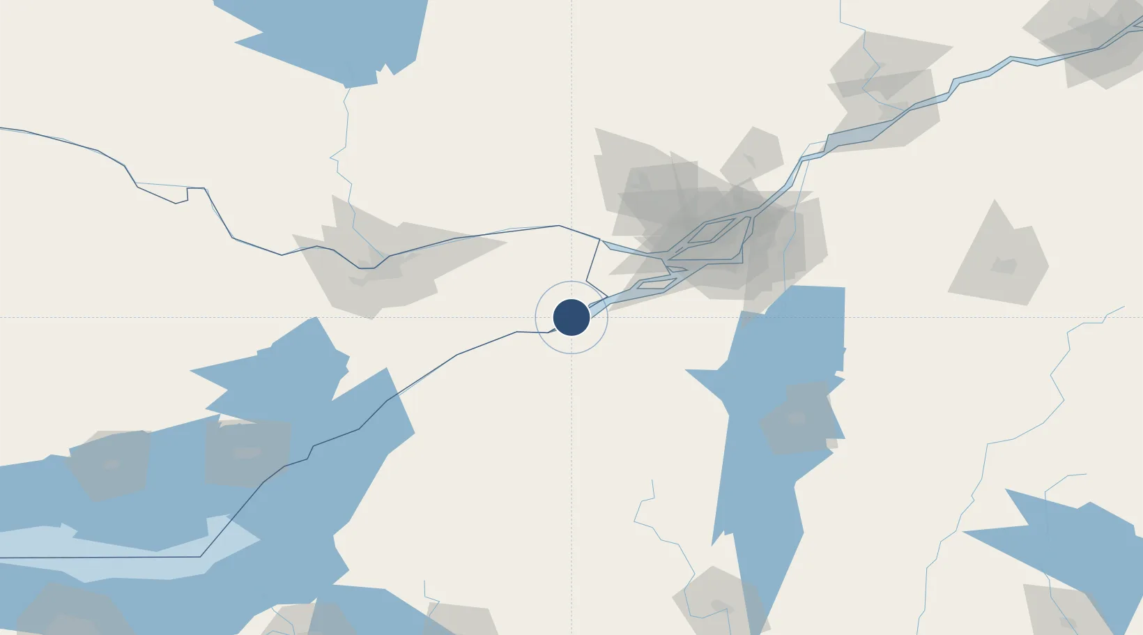
45.0926°, -74.5677°
3,500 ft
Longest runway
1
Runways
175 ft
Elevation
Runway & Layout

Radio Frequencies
A/D
135.25 MHz
BOSTON CNTR
UNIC
122.775 MHz
ATF/UNICOM
Navaids
MSS VORTAC Massena 114.10 MHz
Runways · 1
| Runway | Dimensions | Surface | True heading | Lit |
|---|---|---|---|---|
| 10/28 | 3,500 × 100ft | Asphalt | 083° | ✓ |
Airport Specifications
IATA code
YCC
ICAO code
CYCC
Airport class
Medium airport
Scheduled service
No
Runway surface
Asphalt
Served city
Cornwall
Location
Nearby Logistics Neighbours
Airports
Cities
- 1Bombay18 km
- 2Rivière-Beaudette24 km
- 3Monkland26 km
- 4Saint-Zotique29 km
- 5Ingleside36 km
Ports
- 1South Lancaster7 km
- 2Cornwall16 km
- 3St Anicet16 km
- 4St Zotique30 km
- 5Coteau Landing34 km
Trade Zones
- 1FTZ No. 118 Ogdensburg86 km
- 2Greater Montreal Free Zone Center91 km
- 3FTZ No. 109 Watertown162 km
- 4FTZ No. 172 Oneida County237 km
- 5FTZ No. 090 Onondaga241 km
DatabookThe Record of Consolidated Knowledge
Canada beyond logistics?