Transport Functions
Rail
Road
Multimodal
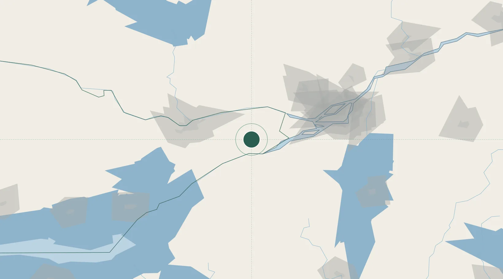
Hub Profile
Place type
Locality
Region
Ontario
Time zone
America/Toronto
Elevation
93 m
Location
Nearby Logistics Neighbours
Cities
- 1Moose Creek10 km
- 2Ingleside25 km
- 3Bombay38 km
- 4Plantagenet39 km
- 5Alfred39 km
Ports
- 1Cornwall23 km
- 2South Lancaster30 km
- 3St Anicet40 km
- 4Papineauville48 km
- 5St Zotique49 km
Airports
Trade Zones
- 1FTZ No. 118 Ogdensburg74 km
- 2Greater Montreal Free Zone Center108 km
- 3FTZ No. 109 Watertown158 km
- 4FTZ No. 090 Onondaga236 km
- 5FTZ No. 172 Oneida County237 km
DatabookThe Record of Consolidated Knowledge
Canada beyond logistics?