Seaport · Canada

South LancasterCALCS

45.1333°, -74.5000°
1.8 m
Channel depth

Channel & Berth Profile

SEA LEVEL (CD)CHANNEL BEDChannel · 1.8 mAnchorage · 1.8 mCargo pier · 1.8 m
NGA World Port Index

Facilities & Capabilities

Container
Ro-Ro
Liquid bulk
Dry bulk
Oil terminal
Break bulk
Dry dock
Repairs
Bunkering
Rail link
Dangerous cargo
ISPS security
NGA World Port Index

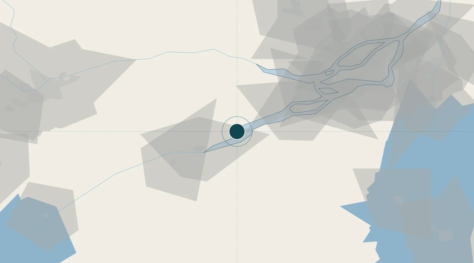
Harbour Specifications

Harbour size
Very Small
NGA World Port Index
Harbour type
River (Natural)
NGA World Port Index
Shelter
Excellent
NGA World Port Index
Water body
Lake Ontario; Great Lakes
NGA World Port Index

Location

Location of CALCS
Natural Earth 10m (public domain) · Québec · CALCS · 45.13, -74.50GoogleOSMYandex

Nearby Logistics Neighbours

Ports
  1. 1St Anicet11 km
  2. 2Cornwall22 km
  3. 3St Zotique24 km
  4. 4Coteau Landing27 km
  5. 5Hudson47 km
Nearest neighbours — logibook spatial index (haversine) over the source coordinates
Cities
  1. 1Rivière-Beaudette17 km
  2. 2Saint-Zotique23 km
  3. 3Bombay23 km
  4. 4Monkland30 km
  5. 5Salaberry-de-Valleyfield32 km
Nearest neighbours — logibook spatial index (haversine) over the source coordinates
Trade Zones
  1. 1Greater Montreal Free Zone Center84 km
  2. 2FTZ No. 118 Ogdensburg92 km
  3. 3FTZ No. 109 Watertown169 km
  4. 4FTZ No. 172 Oneida County244 km
  5. 5FTZ No. 090 Onondaga248 km
Nearest neighbours — logibook spatial index (haversine) over the source coordinates
DatabookThe Record of Consolidated Knowledge
Canada beyond logistics?
Browse databook

All Sources

Portsthe NGA World Port Index
Public domain (US gov)
AirportsOurAirports
Public domain
LocationsUN/LOCODE
UN/LOCODE — free
Trade Zonesthe World Bank SEZ database
CC BY 4.0
Trade ZonesOpen Zone Map
CC BY
← Canada ports