Transport Functions
Port
Road
Multimodal
Hub Profile
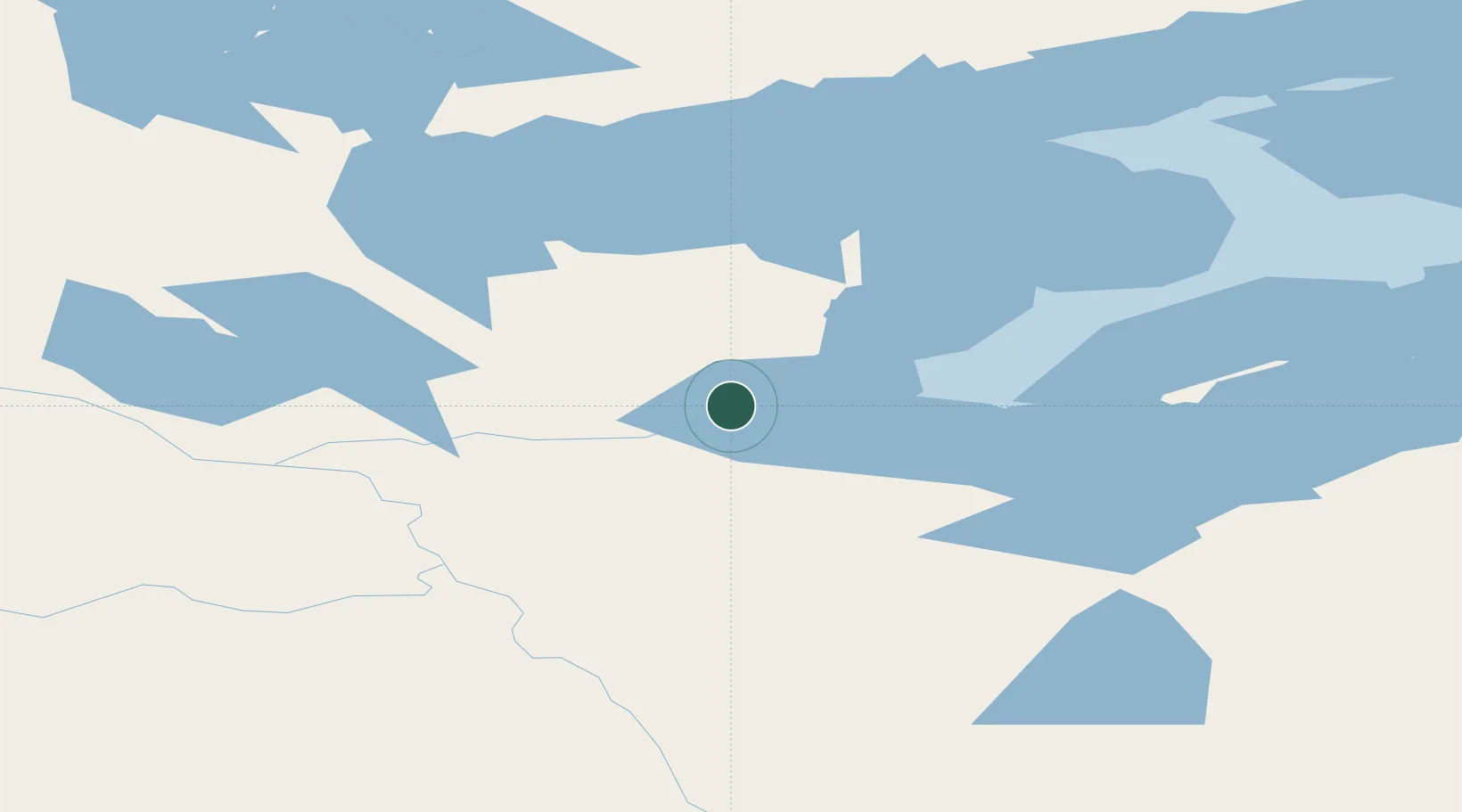
Place type
Locality
Region
Northwest Territories
Time zone
America/Edmonton
Elevation
211 m
Location
Nearby Logistics Neighbours
Cities
- 1Grimshaw1047 km
- 2Bay Tree1059 km
- 3Spirit River1076 km
- 4Girouxville1099 km
- 5McLennan1112 km
Ports
- 1Petersburg1060 km
- 2Kake1072 km
- 3Wrangell1082 km
- 4Stewart1088 km
- 5Hyder1090 km
Airports
- 1Déline Airport3 km
- 2Tulita Airport106 km
- 3Norman Wells Airport158 km
- 4Wrigley Airport220 km
- 5Tommy Kochon Airport238 km
Trade Zones
- 1PrInce George Logistics Park1253 km
- 2Port Alberta - Edmonton FTZ1402 km
- 3Calgary Region Inland Port1661 km
- 4FTZ Vancouver Island1772 km
- 5FTZ No. 128 Whatcom County1821 km
DatabookThe Record of Consolidated Knowledge
Canada beyond logistics?