Small airport · Canada
Déline AirportCYWJ
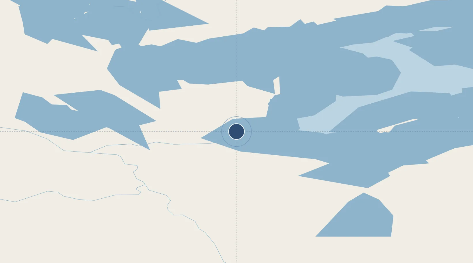
65.2111°, -123.4360°
3,933 ft
Longest runway
1
Runways
703 ft
Elevation
Runway & Layout

Runways · 1
| Runway | Dimensions | Surface | True heading | Lit |
|---|---|---|---|---|
| 08/26 | 3,933 × 99ft | GRVL | 101° | — |
Airport Specifications
IATA code
YWJ
ICAO code
CYWJ
Airport class
Small airport
Scheduled service
Yes
Runway surface
GRVL
Served city
Déline
Location
Nearby Logistics Neighbours
Airports
- 1Tulita Airport106 km
- 2Norman Wells Airport157 km
- 3Wrigley Airport223 km
- 4Tommy Kochon Airport235 km
- 5Fort Good Hope Airport264 km
Cities
- 1Fort Franklin3 km
- 2Grimshaw1050 km
- 3Bay Tree1062 km
- 4Spirit River1079 km
- 5Girouxville1103 km
Ports
- 1Petersburg1062 km
- 2Kake1073 km
- 3Wrangell1084 km
- 4Stewart1091 km
- 5Hyder1093 km
Trade Zones
- 1PrInce George Logistics Park1256 km
- 2Port Alberta - Edmonton FTZ1405 km
- 3Calgary Region Inland Port1664 km
- 4FTZ Vancouver Island1775 km
- 5FTZ No. 128 Whatcom County1824 km
DatabookThe Record of Consolidated Knowledge
Canada beyond logistics?