Medium airport · Canada
Norman Wells AirportCYVQ
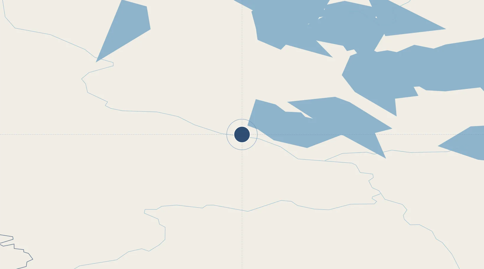
65.2816°, -126.7980°
5,998 ft
Longest runway
1
Runways
238 ft
Elevation
Runway & Layout

Radio Frequencies
A/D
134.825 MHz
EDMONTON CNTR
A/G
122.2 MHz
MF
FSS
122.2 MHz
NORMAN WELLS RDO
Navaids
VQ NDB Norman Wells 326 kHz
YVQ VOR-DME Norman Wells 112.70 MHz
Runways · 1
| Runway | Dimensions | Surface | True heading | Lit |
|---|---|---|---|---|
| 10/28 | 5,998 × 150ft | Asphalt | 117° | ✓ |
Airport Specifications
IATA code
YVQ
ICAO code
CYVQ
Airport class
Medium airport
Scheduled service
Yes
Runway surface
Asphalt
Served city
Norman Wells
Location
Nearby Logistics Neighbours
Airports
- 1Tulita Airport71 km
- 2Fort Good Hope Airport136 km
- 3Déline Airport157 km
- 4Tommy Kochon Airport196 km
- 5Wrigley Airport282 km
Cities
- 1Fort Franklin158 km
- 2Juneau871 km
- 3Pleasant Island898 km
- 4Tyee1004 km
- 5Neets Bay1088 km
Ports
- 1Skagway782 km
- 2Haines806 km
- 3Juneau872 km
- 4Dupont875 km
- 5Excursion Inlet886 km
Trade Zones
- 1PrInce George Logistics Park1283 km
- 2Port Alberta - Edmonton FTZ1496 km
- 3Calgary Region Inland Port1742 km
- 4FTZ Vancouver Island1796 km
- 5FTZ No. 128 Whatcom County1848 km
DatabookThe Record of Consolidated Knowledge
Canada beyond logistics?