Transport Functions
Rail
Road
Hub Profile
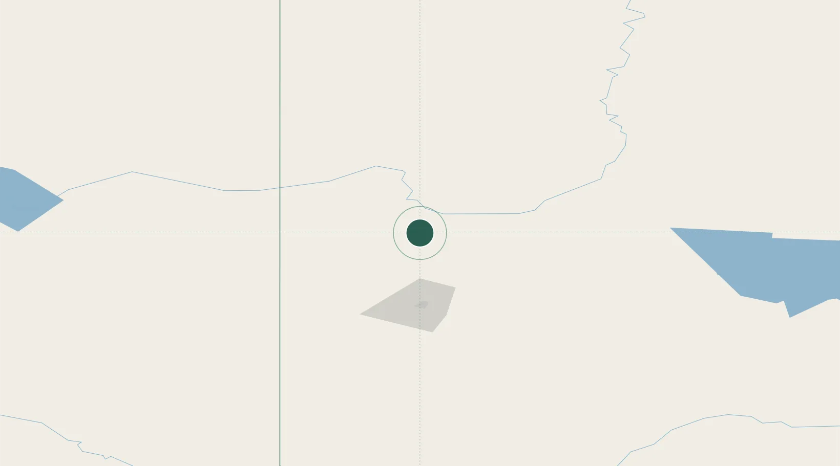
Place type
Populated place
Region
Alberta
Population
1,157
Time zone
America/Edmonton
Elevation
616 m
Location
Nearby Logistics Neighbours
Ports
- 1Port Mellon762 km
- 2Duncan Bay767 km
- 3Port Moody771 km
- 4Mission City772 km
- 5Port Coquitlam773 km
Airports
- 1Grande Prairie Airport65 km
- 2Dawson Creek Airport85 km
- 3Peace River Airport100 km
- 4Fort St John / North Peace Regional Airport130 km
- 5Chetwynd Airport175 km
Trade Zones
- 1PrInce George Logistics Park324 km
- 2Port Alberta - Edmonton FTZ426 km
- 3Calgary Region Inland Port612 km
- 4FTZ Vancouver Island781 km
- 5FTZ No. 242 Boundary County792 km
DatabookThe Record of Consolidated Knowledge
Canada beyond logistics?