Transport Functions
Road
Multimodal
Hub Profile
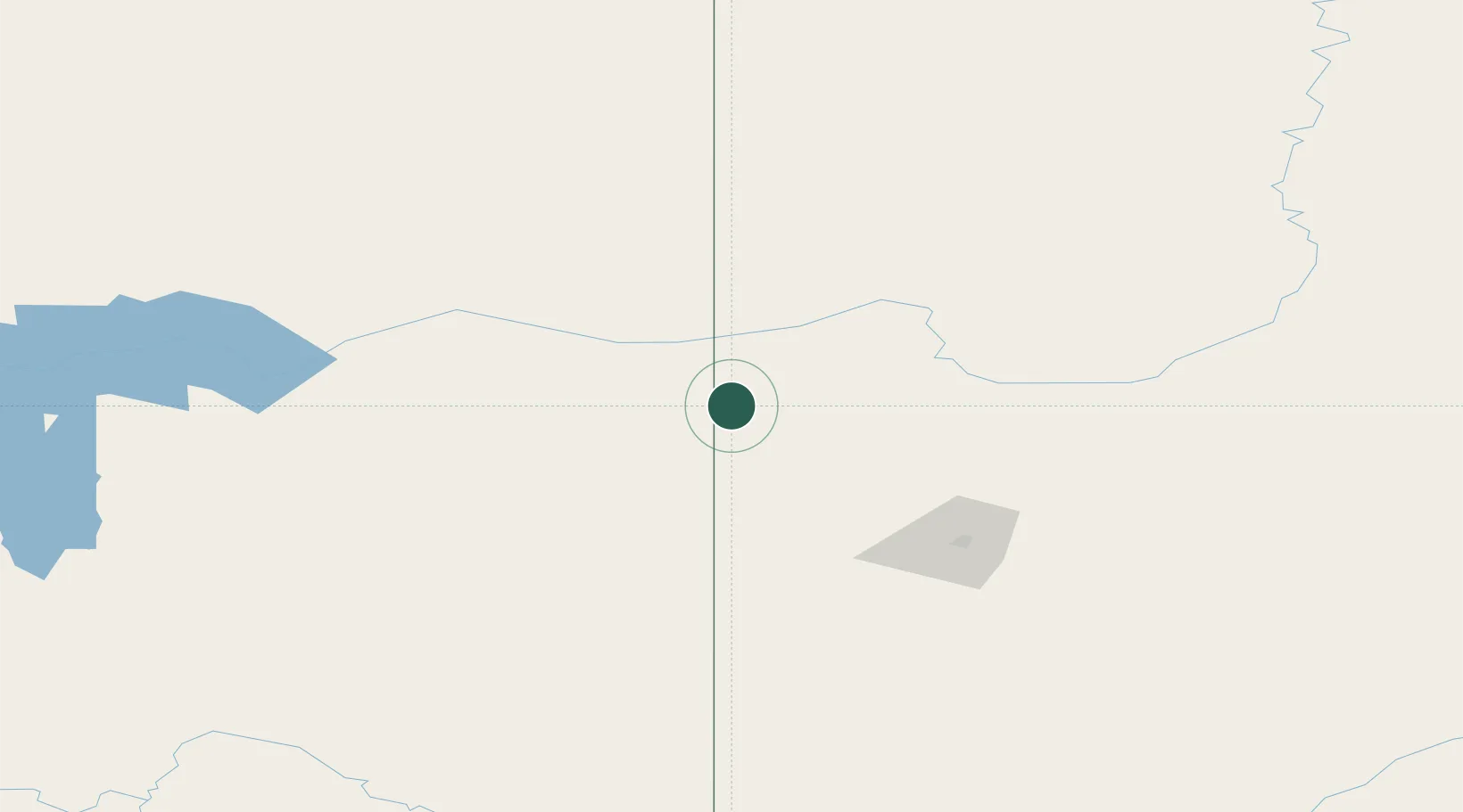
Place type
Locality
Region
Alberta
Time zone
America/Edmonton
Elevation
701 m
Location
Nearby Logistics Neighbours
Cities
- 1Hythe59 km
- 2Spirit River68 km
- 3Sexsmith89 km
- 4Dimsdale96 km
- 5Grimshaw150 km
Ports
- 1Duncan Bay733 km
- 2Port Mellon740 km
- 3Port Moody754 km
- 4Port Coquitlam757 km
- 5Vancouver758 km
Airports
- 1Dawson Creek Airport19 km
- 2Fort St John / North Peace Regional Airport69 km
- 3Grande Prairie Airport96 km
- 4Chetwynd Airport108 km
- 5Peace River Airport160 km
Trade Zones
- 1PrInce George Logistics Park278 km
- 2Port Alberta - Edmonton FTZ488 km
- 3Calgary Region Inland Port656 km
- 4FTZ Vancouver Island762 km
- 5FTZ No. 128 Whatcom County799 km
DatabookThe Record of Consolidated Knowledge
Canada beyond logistics?