Small airport · Canada

Tulita AirportCZFN

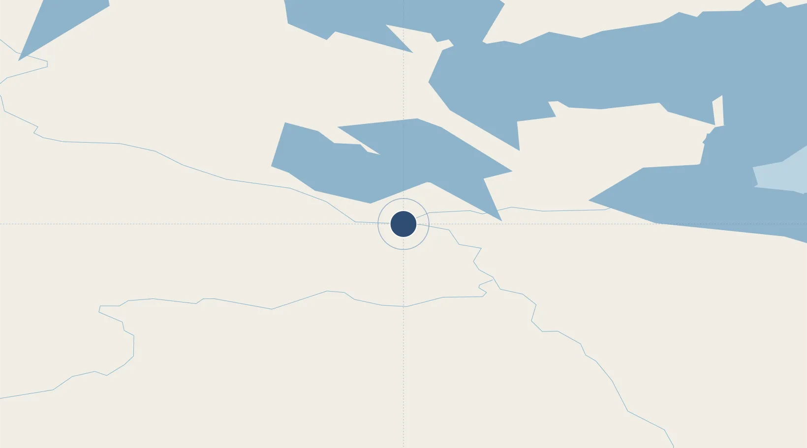
64.9095°, -125.5703°
3,935 ft
Longest runway
1
Runways
332 ft
Elevation

Runway & Layout

Tulita Airport runway & taxiway layout
Runway & taxiway layout — OpenStreetMap (ODbL) / OurAirports

Radio Frequencies

MF
122.1 MHz
OurAirports

Runways · 1

RunwayDimensions SurfaceTrue headingLit
07/25 3,935 × 99ft gravel 085°
OurAirports

Airport Specifications

IATA code
ZFN
OurAirports
ICAO code
CZFN
OurAirports
Airport class
Small airport
OurAirports
Scheduled service
Yes
OurAirports
Runway surface
gravel
OurAirports
Served city
Tulita
OurAirports

Location

Location of CZFN
Natural Earth 10m (public domain) · Northwest Territories · CZFN · 64.91, -125.57GoogleOSMYandex

Nearby Logistics Neighbours

Airports
  1. 1Norman Wells Airport71 km
  2. 2Déline Airport106 km
  3. 3Fort Good Hope Airport205 km
  4. 4Wrigley Airport216 km
  5. 5Tommy Kochon Airport236 km
Nearest neighbours — logibook spatial index (haversine) over the source coordinates
Cities
  1. 1Fort Franklin106 km
  2. 2Juneau869 km
  3. 3Pleasant Island900 km
  4. 4Tyee997 km
  5. 5Bay Tree1057 km
Nearest neighbours — logibook spatial index (haversine) over the source coordinates
Ports
  1. 1Skagway789 km
  2. 2Haines812 km
  3. 3Juneau869 km
  4. 4Dupont872 km
  5. 5Funter888 km
Nearest neighbours — logibook spatial index (haversine) over the source coordinates
Trade Zones
  1. 1PrInce George Logistics Park1232 km
  2. 2Port Alberta - Edmonton FTZ1429 km
  3. 3Calgary Region Inland Port1678 km
  4. 4FTZ Vancouver Island1748 km
  5. 5FTZ No. 128 Whatcom County1799 km
Nearest neighbours — logibook spatial index (haversine) over the source coordinates
DatabookThe Record of Consolidated Knowledge
Canada beyond logistics?
Browse databook

All Sources

AirportsOurAirports
Public domain
Portsthe NGA World Port Index
Public domain (US gov)
LocationsUN/LOCODE
UN/LOCODE — free
Trade Zonesthe World Bank SEZ database
CC BY 4.0
Trade ZonesOpen Zone Map
CC BY
InfrastructureOpenStreetMap
ODbL 1.0
← Canada airports