Transport Functions
Rail
Road
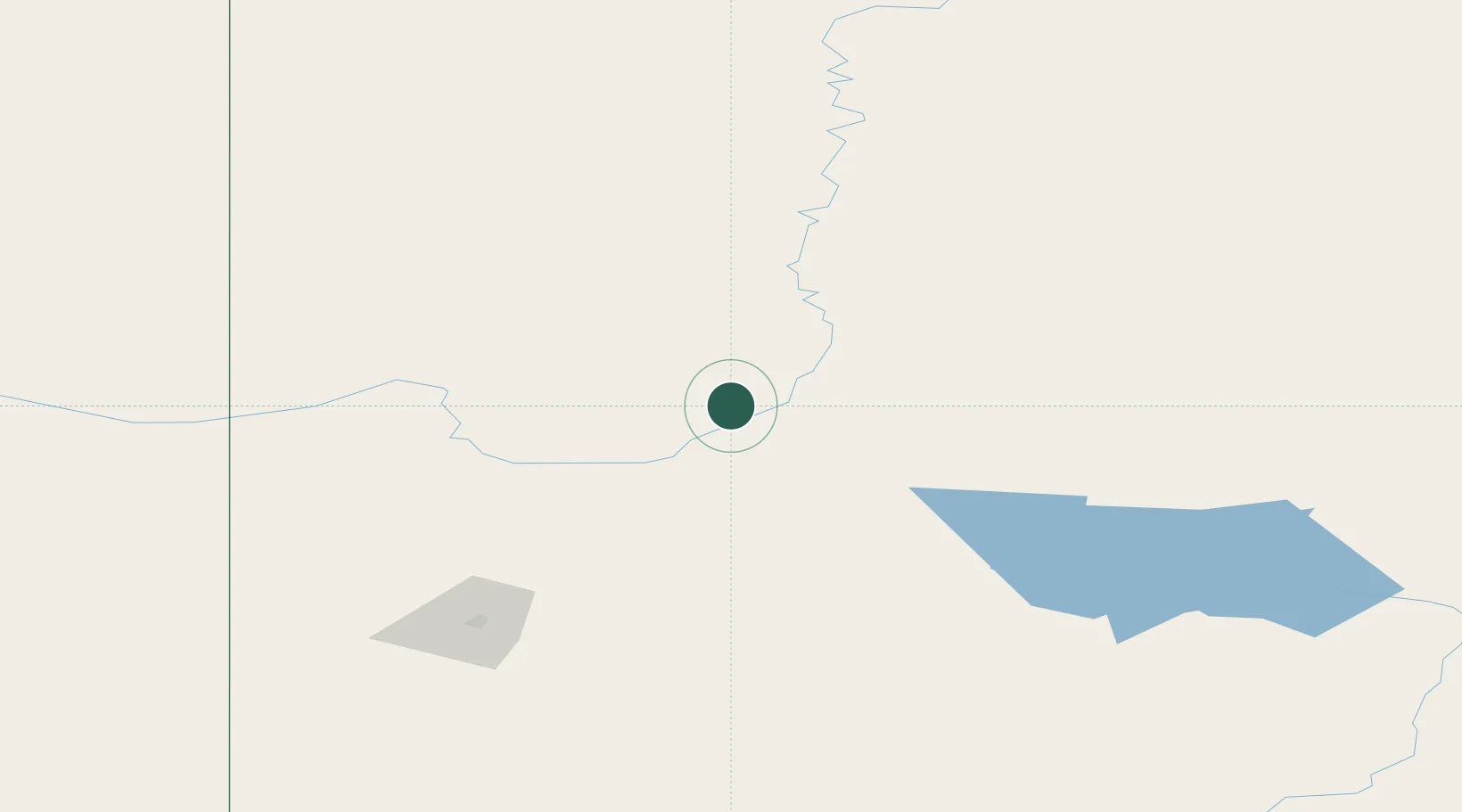
Hub Profile
Place type
Populated place
Region
Alberta
Population
2,560
Time zone
America/Edmonton
Elevation
598 m
Location
Nearby Logistics Neighbours
Cities
- 1Girouxville53 km
- 2McLennan71 km
- 3Guy80 km
- 4Spirit River91 km
- 5Sexsmith122 km
Ports
- 1Port Mellon841 km
- 2Mission City844 km
- 3Port Moody847 km
- 4Port Coquitlam849 km
- 5Duncan Bay852 km
Airports
- 1Peace River Airport10 km
- 2Grande Prairie Airport139 km
- 3Dawson Creek Airport169 km
- 4Fort St John / North Peace Regional Airport194 km
- 5Slave Lake Airport203 km
Trade Zones
- 1Port Alberta - Edmonton FTZ395 km
- 2PrInce George Logistics Park415 km
- 3Calgary Region Inland Port618 km
- 4FTZ No. 242 Boundary County830 km
- 5FTZ Vancouver Island857 km
DatabookThe Record of Consolidated Knowledge
Canada beyond logistics?