Transport Functions
Rail
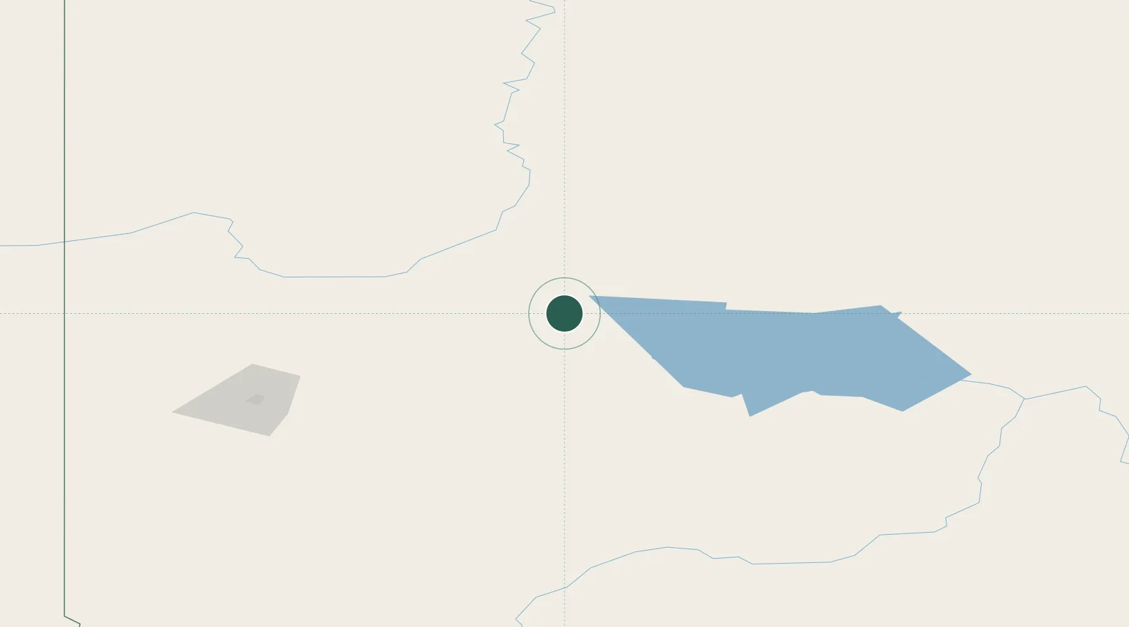
Hub Profile
Place type
Populated place
Region
Alberta
Population
695
Time zone
America/Edmonton
Elevation
620 m
Location
Nearby Logistics Neighbours
Cities
- 1Guy23 km
- 2Girouxville28 km
- 3Grimshaw71 km
- 4Spirit River121 km
- 5Sexsmith125 km
Ports
- 1Mission City814 km
- 2Port Mellon818 km
- 3Port Moody820 km
- 4Port Coquitlam821 km
- 5Fraser Mills825 km
Airports
- 1Peace River Airport68 km
- 2Grande Prairie Airport138 km
- 3Slave Lake Airport141 km
- 4Whitecourt Airport187 km
- 5Dawson Creek Airport206 km
Trade Zones
- 1Port Alberta - Edmonton FTZ325 km
- 2PrInce George Logistics Park424 km
- 3Calgary Region Inland Port550 km
- 4FTZ No. 242 Boundary County773 km
- 5FTZ Vancouver Island831 km
DatabookThe Record of Consolidated Knowledge
Canada beyond logistics?