Runway & Layout

Airport Specifications
IATA code
YCK
ICAO code
CYVL
Airport class
Small airport
Scheduled service
Yes
Served city
Colville Lake
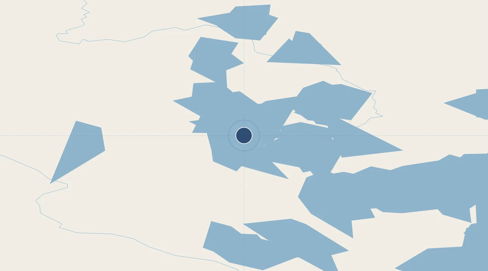
Location
Nearby Logistics Neighbours
Airports
- 1Fort Good Hope Airport141 km
- 2Norman Wells Airport196 km
- 3Déline Airport235 km
- 4Tulita Airport236 km
- 5Paulatuk (Nora Aliqatchialuk Ruben) Airport274 km
Cities
- 1Fort Franklin238 km
- 2Herschel Island601 km
- 3Mould Bay1050 km
- 4Juneau1055 km
- 5Pleasant Island1076 km
Ports
- 1Skagway957 km
- 2Haines982 km
- 3Juneau1056 km
- 4Dupont1060 km
- 5Excursion Inlet1066 km
Trade Zones
- 1FTZ No. 195 Fairbanks1003 km
- 2FTZ No. 108 Valdez1173 km
- 3PrInce George Logistics Park1468 km
- 4Port Alberta - Edmonton FTZ1640 km
- 5Calgary Region Inland Port1897 km
DatabookThe Record of Consolidated Knowledge
Canada beyond logistics?