Transport Functions
Rail
Road
Multimodal
Hub Profile
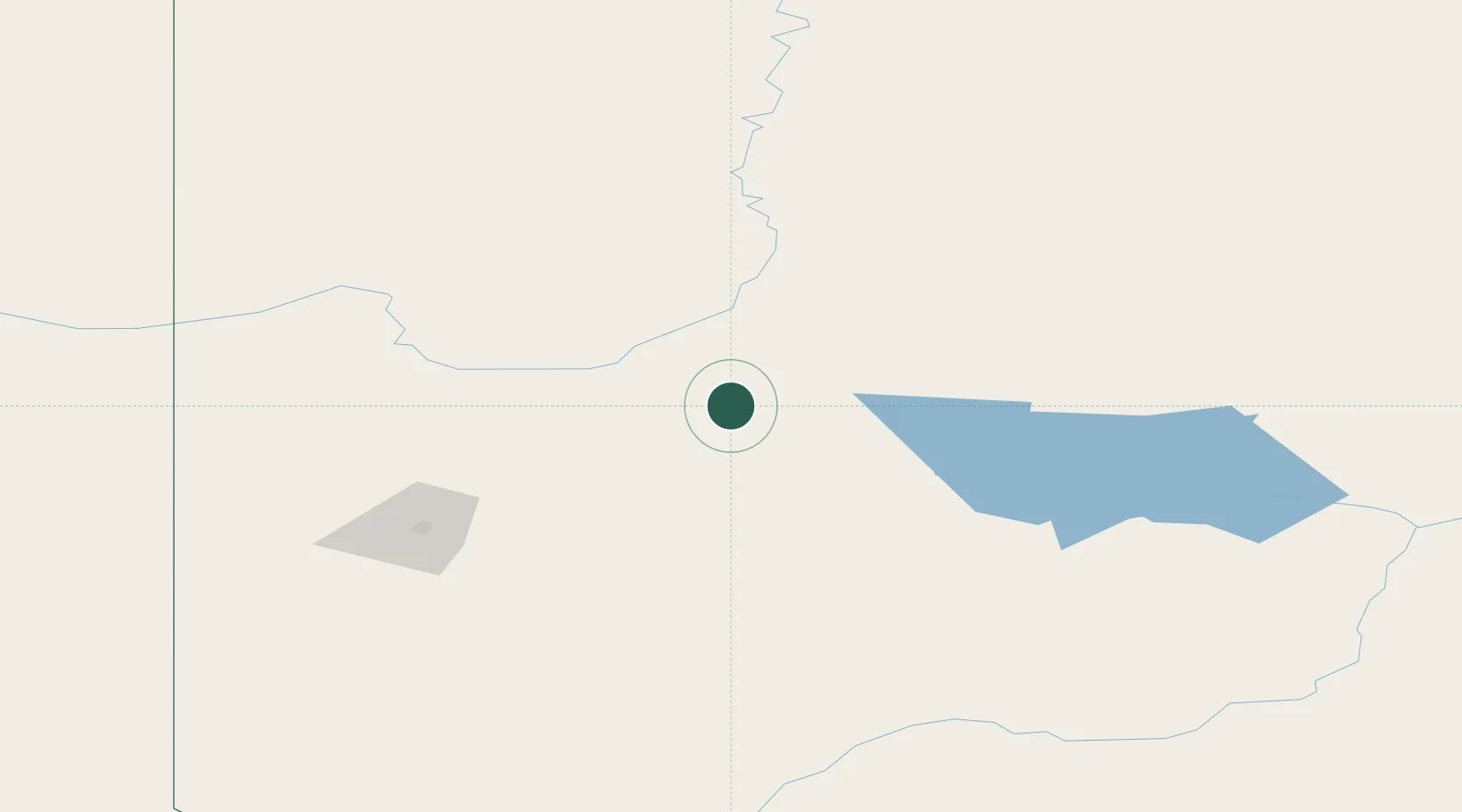
Place type
Populated place
Region
Alberta
Population
278
Time zone
America/Edmonton
Elevation
566 m
Location
Nearby Logistics Neighbours
Cities
- 1Guy28 km
- 2McLennan28 km
- 3Grimshaw53 km
- 4Spirit River94 km
- 5Sexsmith102 km
Ports
- 1Mission City806 km
- 2Port Mellon807 km
- 3Port Moody811 km
- 4Port Coquitlam812 km
- 5Fraser Mills816 km
Airports
- 1Peace River Airport54 km
- 2Grande Prairie Airport117 km
- 3Slave Lake Airport169 km
- 4Dawson Creek Airport178 km
- 5Whitecourt Airport204 km
Trade Zones
- 1Port Alberta - Edmonton FTZ349 km
- 2PrInce George Logistics Park402 km
- 3Calgary Region Inland Port566 km
- 4FTZ No. 242 Boundary County779 km
- 5FTZ Vancouver Island822 km
DatabookThe Record of Consolidated Knowledge
Canada beyond logistics?