Transport Functions
Road
Multimodal
Hub Profile
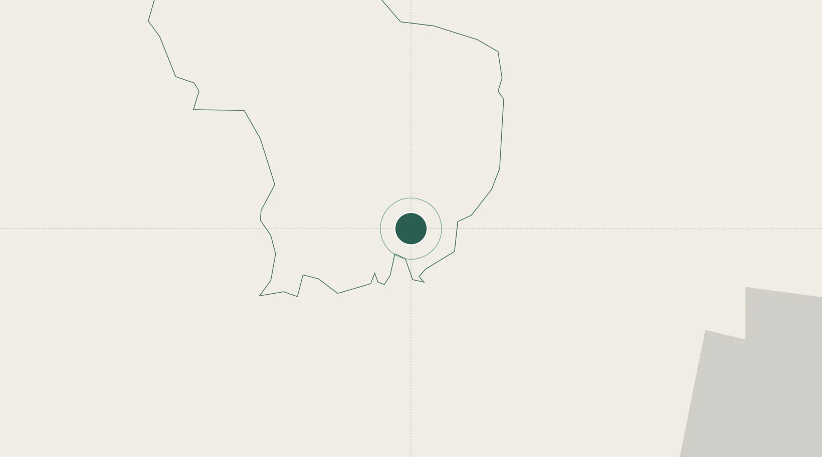
Place type
Regional capital
Region
Samtse District
Population
5,396
Time zone
Asia/Thimphu
Elevation
417 m
Location
Nearby Logistics Neighbours
Cities
- 1Lhamoizingkha23 km
- 2Sarpang32 km
- 3Gelephu53 km
- 4Pasakha53 km
- 5Phuentsholing58 km
Ports
- 1Mongla492 km
- 2Calcutta509 km
- 3Chittagong542 km
- 4Haldia Port573 km
- 5Dhamra740 km
Airports
- 1Gelephu Airport51 km
- 2Hashimara Air Force Station61 km
- 3Paro International Airport78 km
- 4Bathpalathang Airport109 km
- 5Baljek Airport142 km
Trade Zones
- 1Jigmeling Industrial Park31 km
- 2Dhamdum Industrial Park86 km
- 3Kurigram Economic Zone - 1123 km
- 4Bondeyma Industrial Park135 km
- 5Debiganj Economic Zone: Sujon146 km
DatabookThe Record of Consolidated Knowledge
Bhutan beyond logistics?