Medium airport · India

Hashimara Air Force StationVEHX
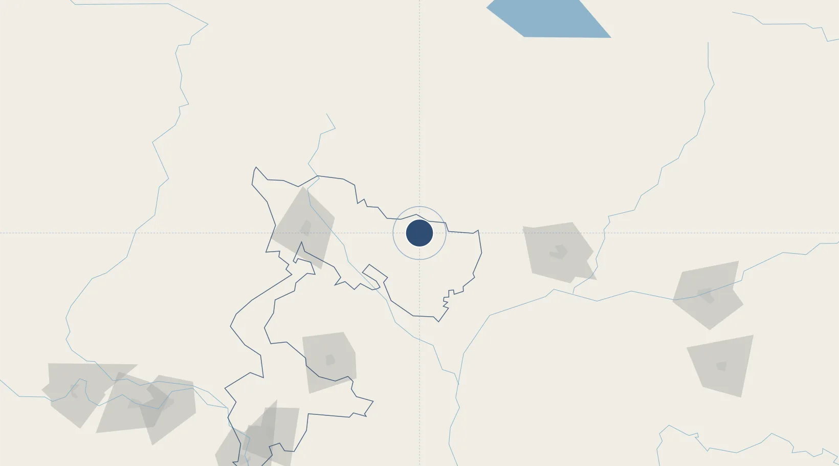
26.6983°, 89.3691°
9,000 ft
Longest runway
1
Runways
340 ft
Elevation

Runway & Layout

Hashimara Air Force Station runway & taxiway layout
Runway & taxiway layout — OpenStreetMap (ODbL) / OurAirports

Runways · 1

RunwayDimensions SurfaceTrue headingLit
11R/29L 9,000 × 148ft Asphalt / concrete 106°
OurAirports

Airport Specifications

ICAO code
VEHX
OurAirports
Airport class
Medium airport
OurAirports
Scheduled service
No
OurAirports
Runway surface
Asphalt / concrete
OurAirports
Served city
Jalpaiguri
OurAirports

Location

Location of VEHX
Natural Earth 10m (public domain) · West Bengal · VEHX · 26.70, 89.37GoogleOSMYandex

Nearby Logistics Neighbours

Airports
  1. 1Paro International Airport79 km
  2. 2Bagdogra Airport103 km
  3. 3Gelephu Airport111 km
  4. 4Saidpur Airport114 km
  5. 5Bhadrapur Airport129 km
Nearest neighbours — logibook spatial index (haversine) over the source coordinates
Cities
  1. 1Pasakha16 km
  2. 2Phuentsholing17 km
  3. 3Nyonpaling20 km
  4. 4Pendenling22 km
  5. 5Yangphelthang30 km
Nearest neighbours — logibook spatial index (haversine) over the source coordinates
Ports
  1. 1Mongla471 km
  2. 2Calcutta473 km
  3. 3Haldia Port537 km
  4. 4Chittagong547 km
  5. 5Dhamra698 km
Nearest neighbours — logibook spatial index (haversine) over the source coordinates
Trade Zones
  1. 1Dhamdum Industrial Park37 km
  2. 2Debiganj Economic Zone: Sujon89 km
  3. 3Panchagarh Economic Zone89 km
  4. 4Jigmeling Industrial Park91 km
  5. 5Kurigram Economic Zone - 1102 km
Nearest neighbours — logibook spatial index (haversine) over the source coordinates
DatabookThe Record of Consolidated Knowledge
India beyond logistics?
Browse databook

All Sources

AirportsOurAirports
Public domain
Portsthe NGA World Port Index
Public domain (US gov)
LocationsUN/LOCODE
UN/LOCODE — free
Trade Zonesthe World Bank SEZ database
CC BY 4.0
Trade ZonesOpen Zone Map
CC BY
InfrastructureOpenStreetMap
ODbL 1.0
← India airports