Transport Functions
Road
Multimodal
Hub Profile
Region
12
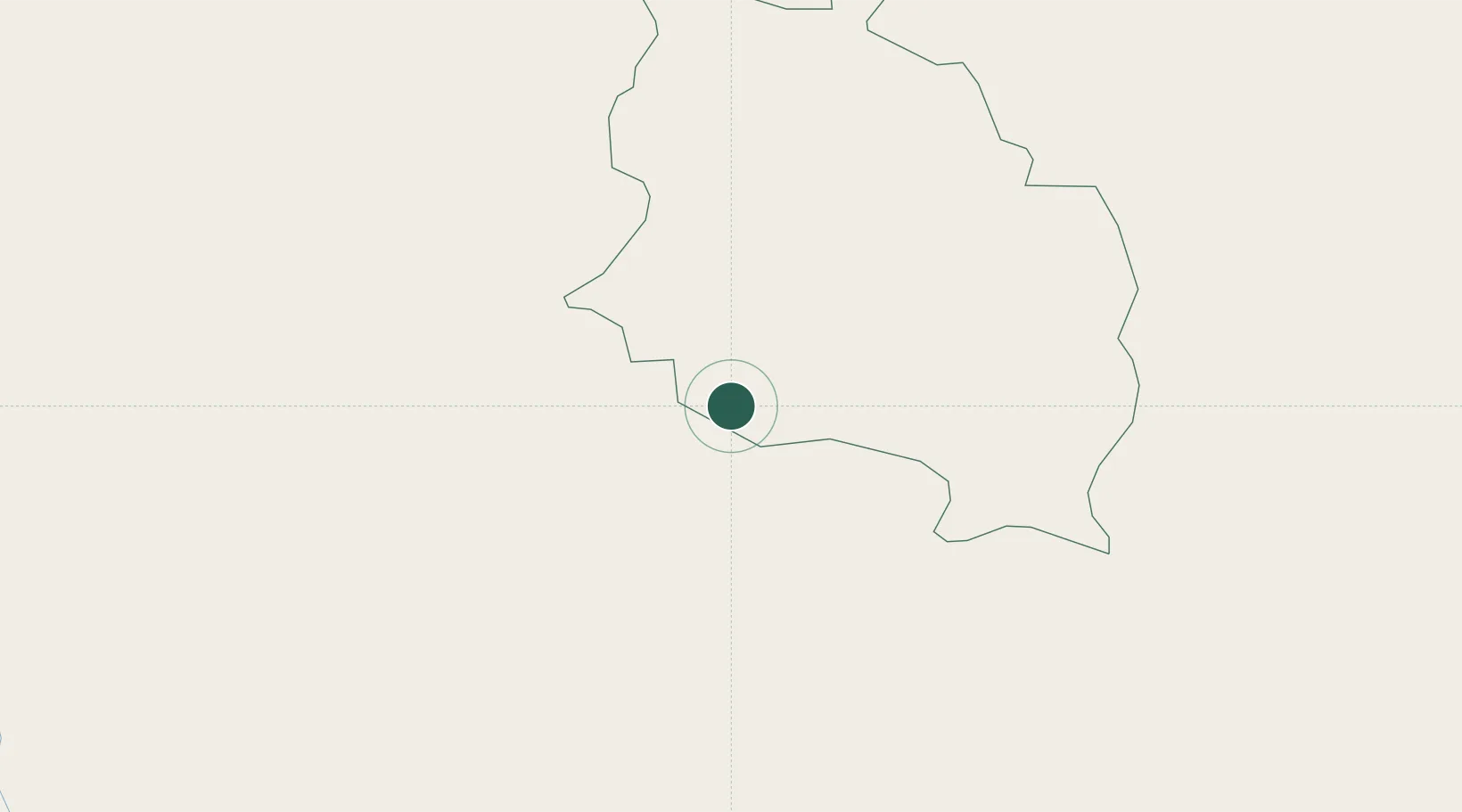
Location
Nearby Logistics Neighbours
Cities
- 1Phuentsholing5 km
- 2Nyonpaling20 km
- 3Yangphelthang23 km
- 4Pendenling23 km
- 5Lhamoizingkha44 km
Ports
- 1Mongla486 km
- 2Calcutta489 km
- 3Haldia Port552 km
- 4Chittagong558 km
- 5Dhamra714 km
Airports
- 1Hashimara Air Force Station16 km
- 2Paro International Airport63 km
- 3Gelephu Airport104 km
- 4Bagdogra Airport109 km
- 5Saidpur Airport130 km
Trade Zones
- 1Dhamdum Industrial Park35 km
- 2Jigmeling Industrial Park84 km
- 3Debiganj Economic Zone: Sujon103 km
- 4Panchagarh Economic Zone104 km
- 5Kurigram Economic Zone - 1116 km
DatabookThe Record of Consolidated Knowledge
Bhutan beyond logistics?