Transport Functions
Road
Multimodal
Postal
Hub Profile
Place type
Populated place
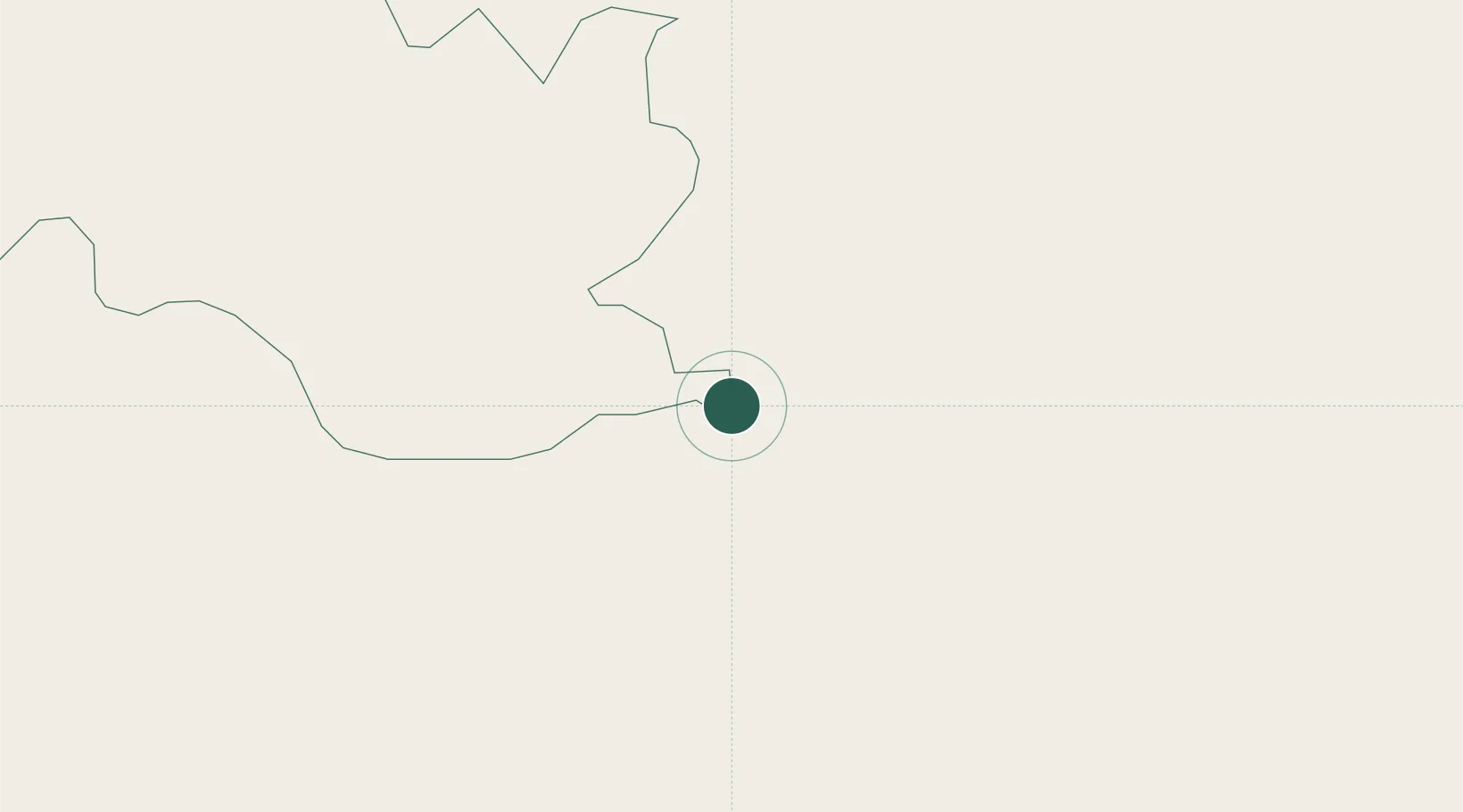
Region
Chukha
Time zone
Asia/Thimphu
Elevation
314 m
Location
Nearby Logistics Neighbours
Cities
- 1Pasakha5 km
- 2Nyonpaling15 km
- 3Yangphelthang18 km
- 4Pendenling19 km
- 5Chuchungsa45 km
Ports
- 1Mongla488 km
- 2Calcutta489 km
- 3Haldia Port553 km
- 4Chittagong562 km
- 5Dhamra714 km
Airports
- 1Hashimara Air Force Station17 km
- 2Paro International Airport62 km
- 3Bagdogra Airport105 km
- 4Gelephu Airport109 km
- 5Saidpur Airport130 km
Trade Zones
- 1Dhamdum Industrial Park29 km
- 2Jigmeling Industrial Park89 km
- 3Debiganj Economic Zone: Sujon101 km
- 4Panchagarh Economic Zone102 km
- 5Kurigram Economic Zone - 1119 km
DatabookThe Record of Consolidated Knowledge
Bhutan beyond logistics?