Medium airport · Bahamas
Exuma International AirportMYEF
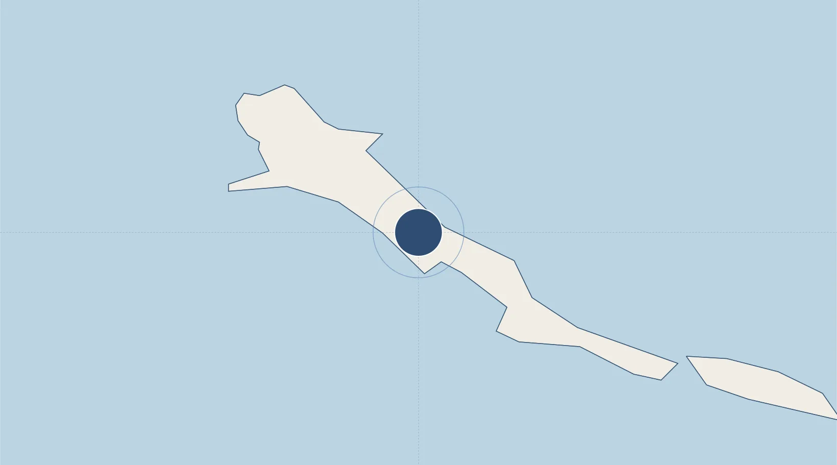
23.5626°, -75.8780°
7,051 ft
Longest runway
1
Runways
9 ft
Elevation
Runway & Layout

Radio Frequencies
AFIS
118 MHz
RDO
124.4 MHz
NASSAU RDO
Navaids
ZEF NDB Great Exuma 328 kHz
Runways · 1
| Runway | Dimensions | Surface | True heading | Lit |
|---|---|---|---|---|
| 12/30 | 7,051 × 150ft | Asphalt | 118° | ✓ |
Airport Specifications
IATA code
GGT
ICAO code
MYEF
Airport class
Medium airport
Scheduled service
Yes
Runway surface
Asphalt
Served city
Moss Town
Location
Nearby Logistics Neighbours
Airports
- 1Stella Maris Airport62 km
- 2Staniel Cay Airport88 km
- 3Deadman's Cay Airport91 km
- 4New Bight Airport94 km
- 5Hard Bargain Airport117 km
Cities
- 1Great Exuma Island6 km
- 2Bock Cay41 km
- 3Stella Maris59 km
- 4The Bight97 km
- 5Little San Salvador114 km
Ports
- 1Cockburn147 km
- 2Nassau226 km
- 3Clifton Pier233 km
- 4Puerto Padre262 km
- 5Manati263 km
Trade Zones
- 1Freeport Bahamas433 km
- 2Grand Bahama International Airport437 km
- 3Caracol Free Zone590 km
- 4FTZ de Trou du Nord592 km
- 5Cazoumar Free Zone606 km
DatabookThe Record of Consolidated Knowledge
Bahamas beyond logistics?