Medium airport · Bahamas

North Eleuthera AirportMYEH
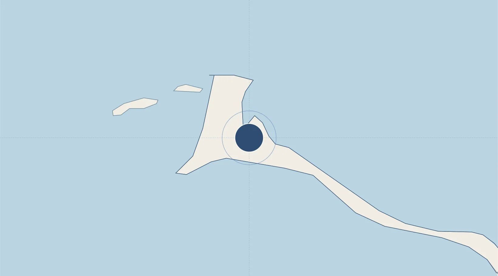
25.4758°, -76.6808°
6,020 ft
Longest runway
1
Runways
13 ft
Elevation

Runway & Layout

North Eleuthera Airport runway & taxiway layout
Runway & taxiway layout — OpenStreetMap (ODbL) / OurAirports

Radio Frequencies

RDO
124.1 MHz
NASSAU RDO
UNIC
122.8 MHz
UNICOM
OurAirports

Runways · 1

RunwayDimensions SurfaceTrue headingLit
07/25 6,020 × 100ft Asphalt 068°
OurAirports

Airport Specifications

IATA code
ELH
OurAirports
ICAO code
MYEH
OurAirports
Airport class
Medium airport
OurAirports
Scheduled service
Yes
OurAirports
Runway surface
Asphalt
OurAirports
Served city
North Eleuthera
OurAirports

Location

Location of MYEH
Natural Earth 10m (public domain) · North Eleuthera · MYEH · 25.48, -76.68GoogleOSMYandex

Nearby Logistics Neighbours

Airports
  1. 1Governor's Harbour Airport41 km
  2. 2Rock Sound International Airport82 km
  3. 3Lynden Pindling International Airport93 km
  4. 4Normans Cay Airport99 km
  5. 5Great Harbour Cay Airport120 km
Nearest neighbours — logibook spatial index (haversine) over the source coordinates
Cities
  1. 1Harbour Island6 km
  2. 2Harbour Island6 km
  3. 3Nassau58 km
  4. 4Rock Sound80 km
  5. 5Cape Eleuthera81 km
Nearest neighbours — logibook spatial index (haversine) over the source coordinates
Ports
  1. 1Nassau80 km
  2. 2Clifton Pier102 km
  3. 3South Riding Point199 km
  4. 4Freeport240 km
  5. 5Cockburn269 km
Nearest neighbours — logibook spatial index (haversine) over the source coordinates
Trade Zones
  1. 1Freeport Bahamas230 km
  2. 2Grand Bahama International Airport234 km
  3. 3FTZ No. 025 Broward County352 km
  4. 4FTZ No. 180 Miami (Wynwood)355 km
  5. 5FTZ No. 241 Fort Lauderdale359 km
Nearest neighbours — logibook spatial index (haversine) over the source coordinates
DatabookThe Record of Consolidated Knowledge
Bahamas beyond logistics?
Browse databook

All Sources

AirportsOurAirports
Public domain
Portsthe NGA World Port Index
Public domain (US gov)
LocationsUN/LOCODE
UN/LOCODE — free
Trade Zonesthe World Bank SEZ database
CC BY 4.0
Trade ZonesOpen Zone Map
CC BY
InfrastructureOpenStreetMap
ODbL 1.0
← Bahamas airports