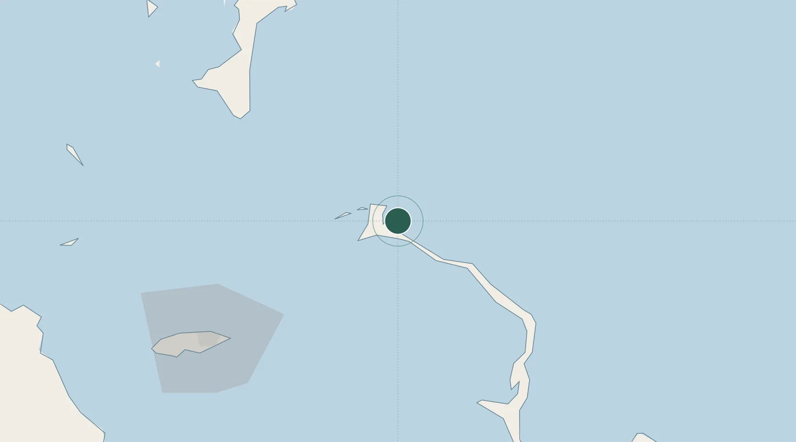
UN/LOCODE hub · Bermuda
BMHBI

Harbour Island

25.5000°, -76.6333°
1
Transport functions

Transport Functions

Port
UN/LOCODE

Location

Location of BMHBI
Natural Earth 10m (public domain) · North Eleuthera · BMHBI · 25.50, -76.63GoogleOSMYandex

Nearby Logistics Neighbours

Cities
  1. 1Harbour Island0 km
  2. 2Nassau63 km
  3. 3Rock Sound80 km
  4. 4Cape Eleuthera81 km
  5. 5Clifton Point106 km
Nearest neighbours — logibook spatial index (haversine) over the source coordinates
Ports
  1. 1Nassau86 km
  2. 2Clifton Pier108 km
  3. 3South Riding Point201 km
  4. 4Freeport243 km
  5. 5Cockburn266 km
Nearest neighbours — logibook spatial index (haversine) over the source coordinates
Airports
  1. 1North Eleuthera Airport6 km
  2. 2Governor's Harbour Airport39 km
  3. 3Rock Sound International Airport82 km
  4. 4Lynden Pindling International Airport98 km
  5. 5Normans Cay Airport103 km
Nearest neighbours — logibook spatial index (haversine) over the source coordinates
Trade Zones
  1. 1Freeport Bahamas233 km
  2. 2Grand Bahama International Airport237 km
  3. 3FTZ No. 025 Broward County356 km
  4. 4FTZ No. 180 Miami (Wynwood)360 km
  5. 5FTZ No. 241 Fort Lauderdale363 km
Nearest neighbours — logibook spatial index (haversine) over the source coordinates
DatabookThe Record of Consolidated Knowledge
Bermuda beyond logistics?
Browse databook

All Sources

LocationsUN/LOCODE
UN/LOCODE — free
Portsthe NGA World Port Index
Public domain (US gov)
AirportsOurAirports
Public domain
Trade Zonesthe World Bank SEZ database
CC BY 4.0
Trade ZonesOpen Zone Map
CC BY
← Bermuda locations