Transport Functions
Port
Airport
Hub Profile
Place type
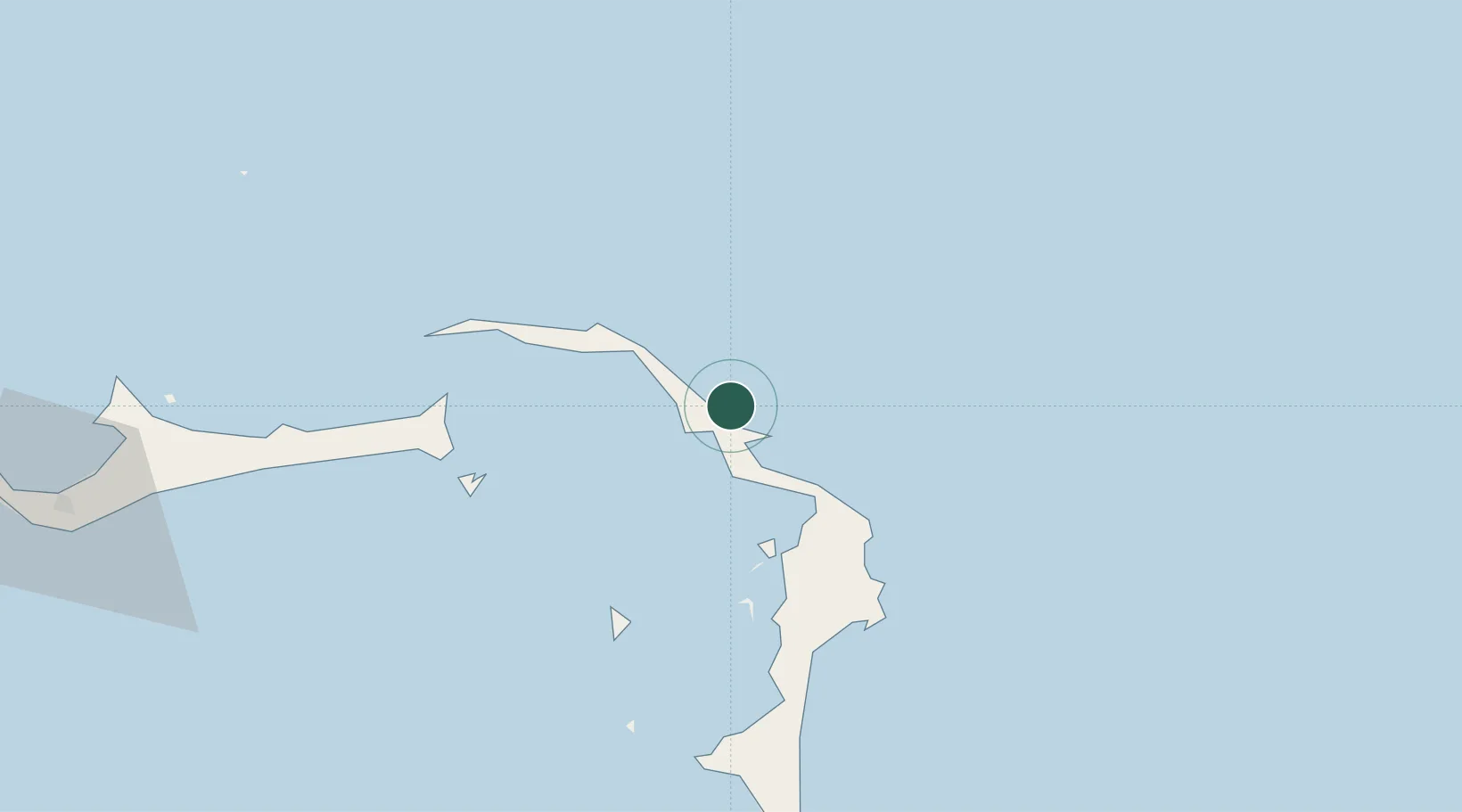
Populated place
Region
Hope Town
Time zone
America/Nassau
Elevation
12 m
Location
Nearby Logistics Neighbours
Cities
- 1Marsh Harbour44 km
- 2Gorda Cay77 km
- 3Great Stirrup Cay117 km
- 4Little Stirrup Cay120 km
- 5Great Harbour Cay122 km
Ports
- 1South Riding Point89 km
- 2Freeport146 km
- 3Nassau185 km
- 4Clifton Pier196 km
- 5Palm Beach270 km
Airports
Trade Zones
- 1Freeport Bahamas134 km
- 2Grand Bahama International Airport138 km
- 3FTZ No. 135 Palm Beach County270 km
- 4FTZ No. 025 Broward County288 km
- 5FTZ No. 241 Fort Lauderdale289 km
DatabookThe Record of Consolidated Knowledge
Bahamas beyond logistics?